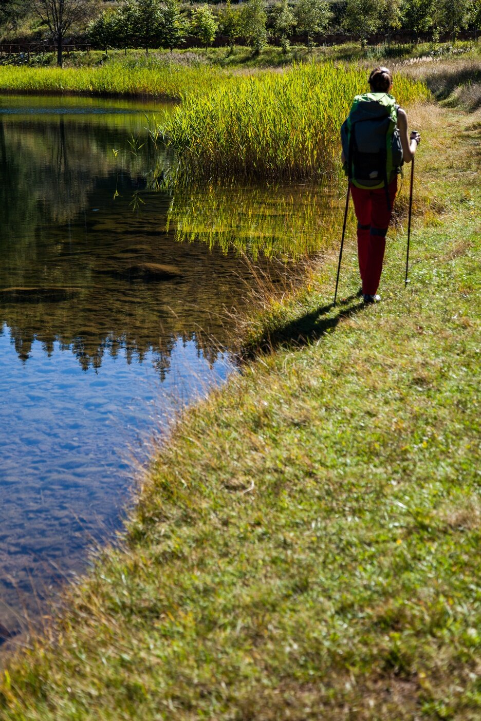
Relaxing hike among the fir, birch, and beech woods of Dossone di Cembra
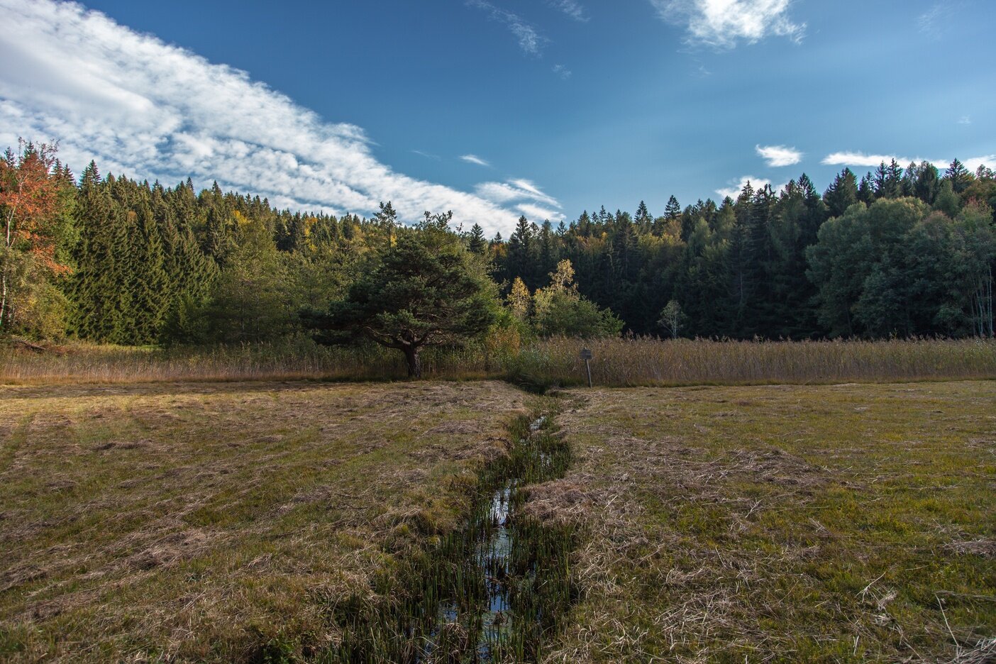
Our route, which takes place mostly on comfortable forest roads, begins at the Lago Santo Refuge in Cembra, where it follows the SAT 414 trail (Sentiero Italia) and quickly reaches the Lagabrun peat bog: a biotope particularly important from a scientific and naturalistic point of view for the fauna that finds refuge here, including many species of invertebrates, some very rare. A curiosity: a species of aquatic beetle found in the Lagabrun peat bog has been given the scientific name Agabus lagabrunensis, precisely due to the importance of the location where it was found.
From the Lagabrun peat bog, we take the SAT E409A trail towards Pozze - Passo della Crocola which leads to the Sauch Refuge. Just before the refuge, we cannot help but stop to visit the evocative Roccolo del Sauch: a very ancient and sophisticated system for capturing birds through a complex vegetal construction.
After a refreshment break at the Sauch Refuge, we resume our route, first following a dirt road through the woods and then the SAT E409 trail towards the Forest Hut until the Zise locality, above the village of Ponciach (Faver). Here we take the SAT 415 trail (European trail E5) which leads us towards the localities of Vegiose and Val Fredata, before returning to Lago Santo.
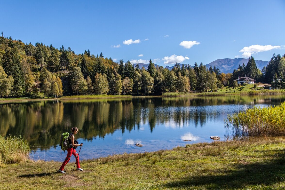
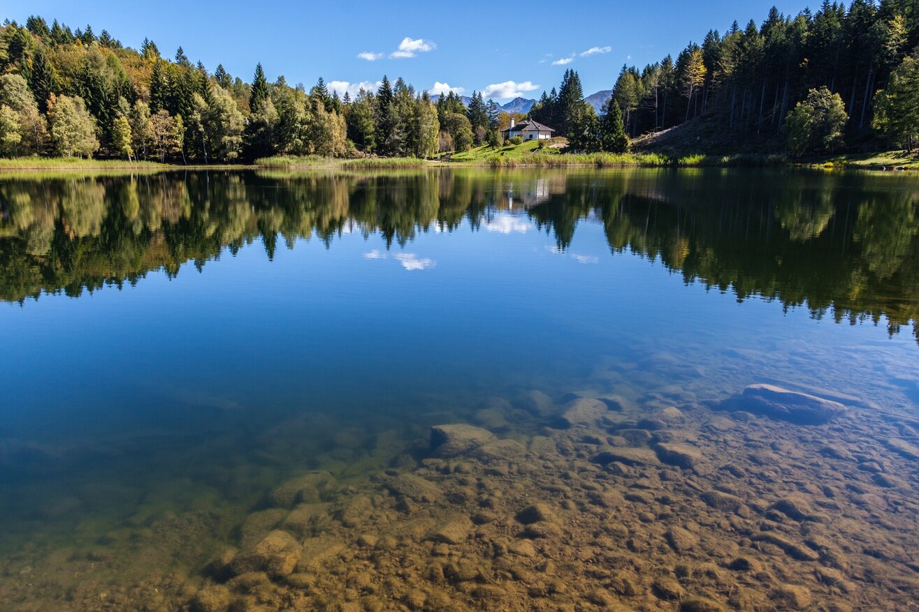
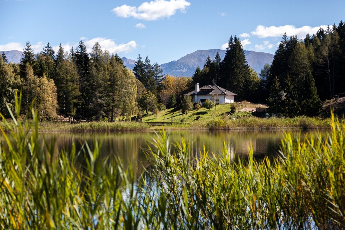
Lago Santo is a beautiful glacial lake situated at 1200 m, in a landscape dominated by mixed fir, birch, and beech woods, reminiscent of northern scenery. Its name is linked to an evocative legend: it is said that once, where the lake now lies, there was a land subject to fierce disputes among heirs, so much so that one of them, exasperated, wished it would become a lake. From that moment, the water began to rise. The inhabitants of Cembra, worried about the imminent danger, went on pilgrimage to the land, and when the parish priest threw the Madonna’s ring into the water, it calmed down.