To the navigation Skip to main content To the footer
Top

Lake Santo and the Potzmauer Alpine Refuge

Faver, Grauno, Grumes, Valda, Cembra, Lisignago
Category
Duration
6:00
in hours
Distance
18
in km
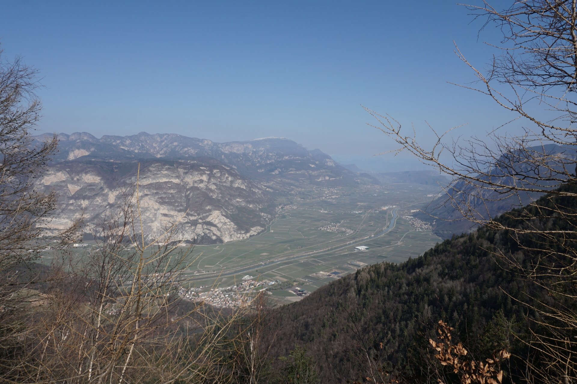
Circular itinerary connecting Lake Santo di Cembra with Potzmauer Refuge, through woods and wide views over the Adige valley

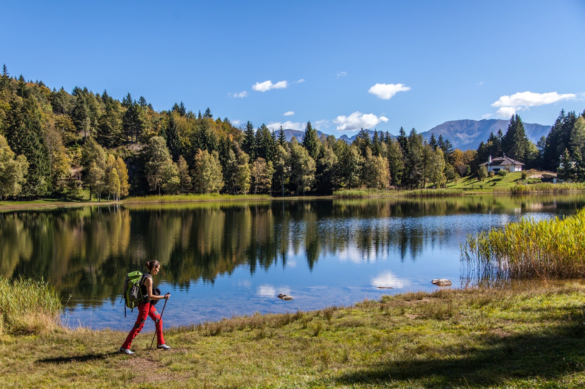
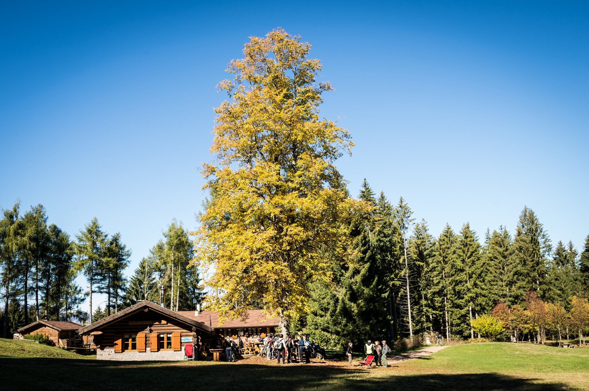
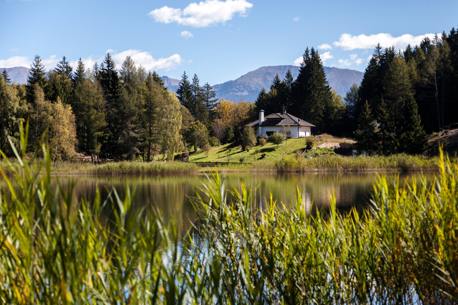
The path connects Lake Santo, a splendid glacier-origin lake, to the Potzmauer alpine refuge, located at 1300 m and immersed in a basin of meadows surrounded by fir woods.

Lake Santo owes its name to a suggestive legend: it is said that once, where the lake now lies, there was land disputed fiercely among heirs, so much so that one of them, exasperated, wished it would become a lake. From that moment the water began to rise. The inhabitants of Cembra, worried about the impending danger, went on a pilgrimage to the land and when the parish priest threw the Madonna’s ring into it, the water calmed down.

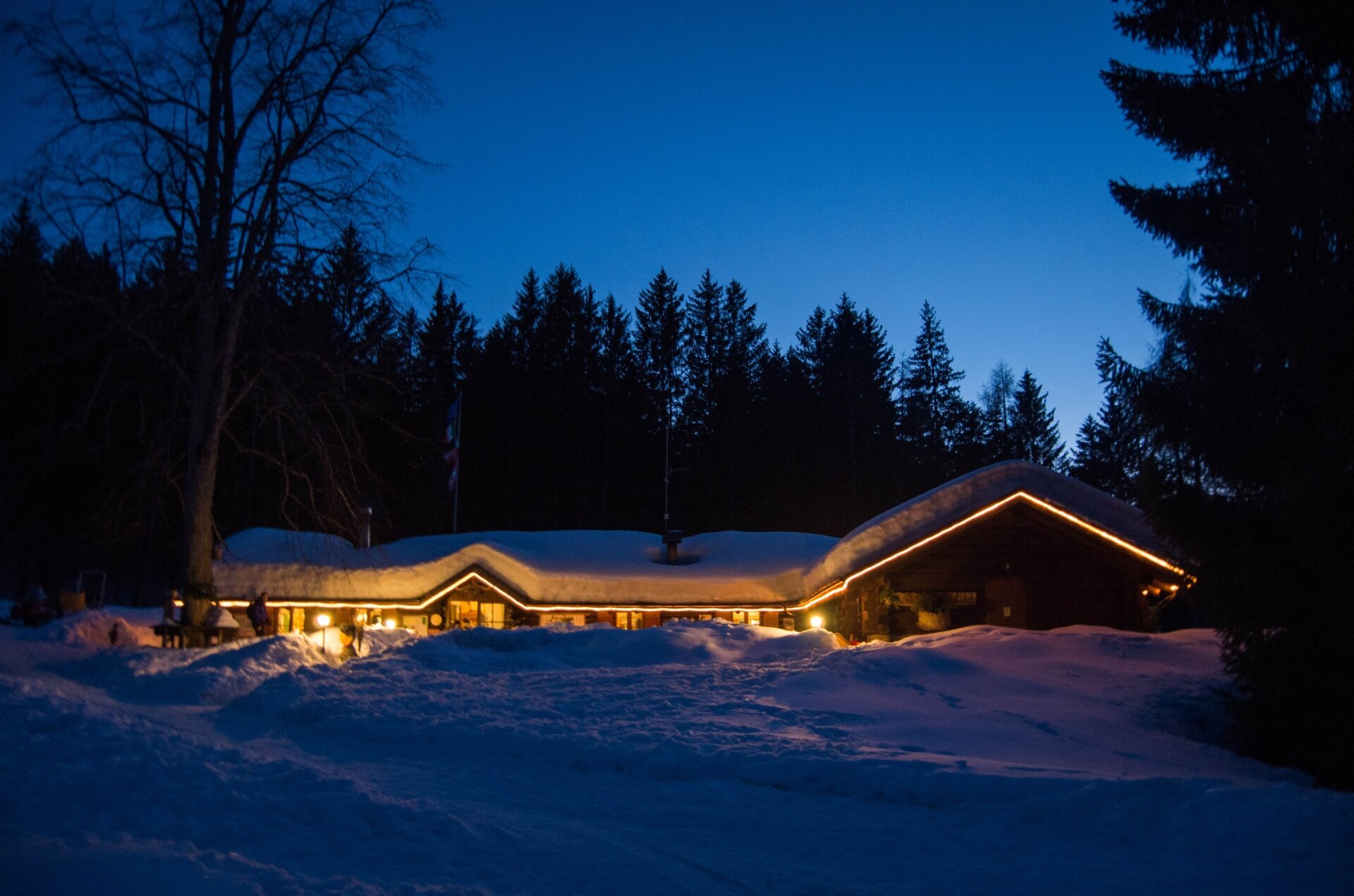
The Potzmauer Refuge was once a mountain farm, abandoned with the disappearance of livestock in the valley. It was bought by the Municipality of Grumes (now part of Atavalle Municipality), which renovated it and gave it new life. Today the refuge is a rest point both for meals and overnight stays and also a midpoint for possible longer excursions towards other interesting places such as the peat bogs of Lac del Vedes or Lago di Valda.
Further information and useful links

Alta Val di Cembra Avisio Reserve Network

www.reteriservevaldicembra.tn.it

Potzmauer Refuge

www.facebook.com/RifugioPotzmauerGrumes

Visit Trentino

www.visittrentino.info

Meteotrentino

www.meteotrentino.it

Tags
  • Scenic
  • Round trip
Route data
Distance
18,0 km
Duration
6 h 00 min
Ascent
650 m
Decent
650 m
Highest point
1.417 m
Lowest point
1.058 m
Suggestions
Stopping for lunch or tasting a slice of cake at the refuge and then relaxing on the lawn is almost mandatory for those who come up here.
You might be interested in
Discover related tours
House seen from Capriana | © Syrio, Creative Commons
Valfloriana
The small hamlets of Valfloriana
Distance 11,2 km
Duration 4 h 30 min
Ascent 650 m
Decent 650 m
Sennalm Iuribello | © A. Campanile, APT Fiemme Cembra
Easy
Predazzo
Malga Juribello
Distance 4,9 km
Duration 1 h 30 min
Ascent 90 m
Decent 100 m
On the route | © A. Russolo, APT Fiemme Cembra
Easy
Predazzo, Tesero
Latemar Discover Tour
Distance 4,1 km
Duration 1 h 30 min
Ascent 135 m
Decent 290 m
The covered wooden bridge and the information board | © N. Delvai, APT Fiemme Cembra
Easy
Panchià, Ziano di Fiemme
Montagna Senza Limiti - Old Bridge: a suspended story
Distance 5,8 km
Duration 1 h 30 min
Ascent 34 m
Decent 34 m
The cellar of the Valfloriana wells | © Elisa Travaglia, Rete di Riserve Val di Cembra Avisio
Sover, Valfloriana
Voices from the forest
Distance 10,8 km
Duration 4 h 00 min
Ascent 550 m
Decent 550 m
Ziano di Fiemme | © A. Zorzi, APT Fiemme Cembra
Easy
Ziano di Fiemme
Walk to the small waterfalls in Ziano di Fiemme
Distance 2,2 km
Duration 1 h 00 min
Ascent 100 m
Decent 100 m