To the navigation Skip to main content To the footer
Top

Latemar Tour - Tour 930

Predazzo, Tesero
Category
Difficulty
Intermediate
Duration
4:00
in hours
Distance
37.2
in km
Suggested period
Jan
Feb
Mar
Apr
May
Jun
Jul
Aug
Sep
Oct
Nov
Dec

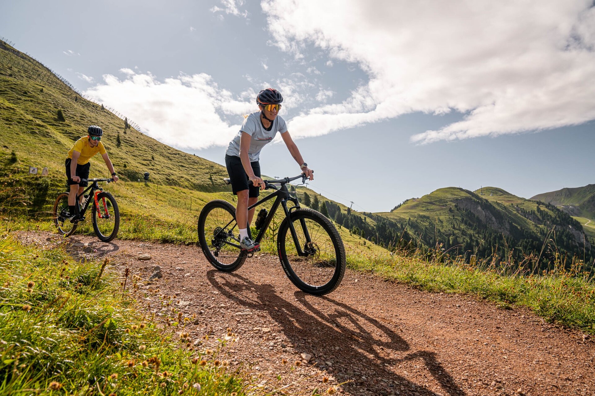
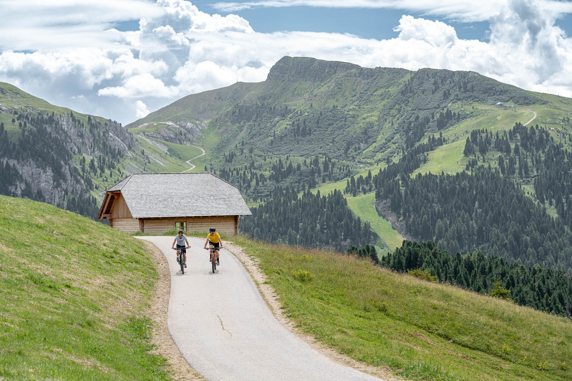
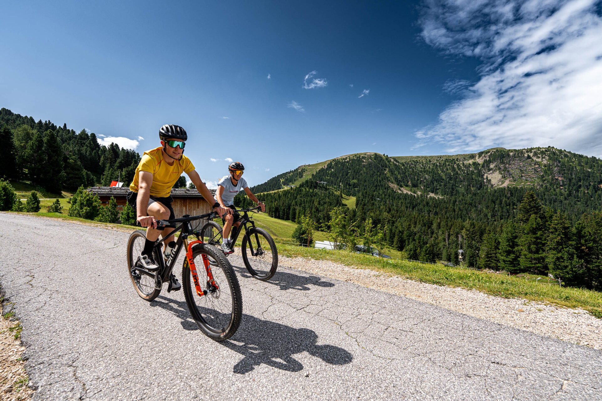
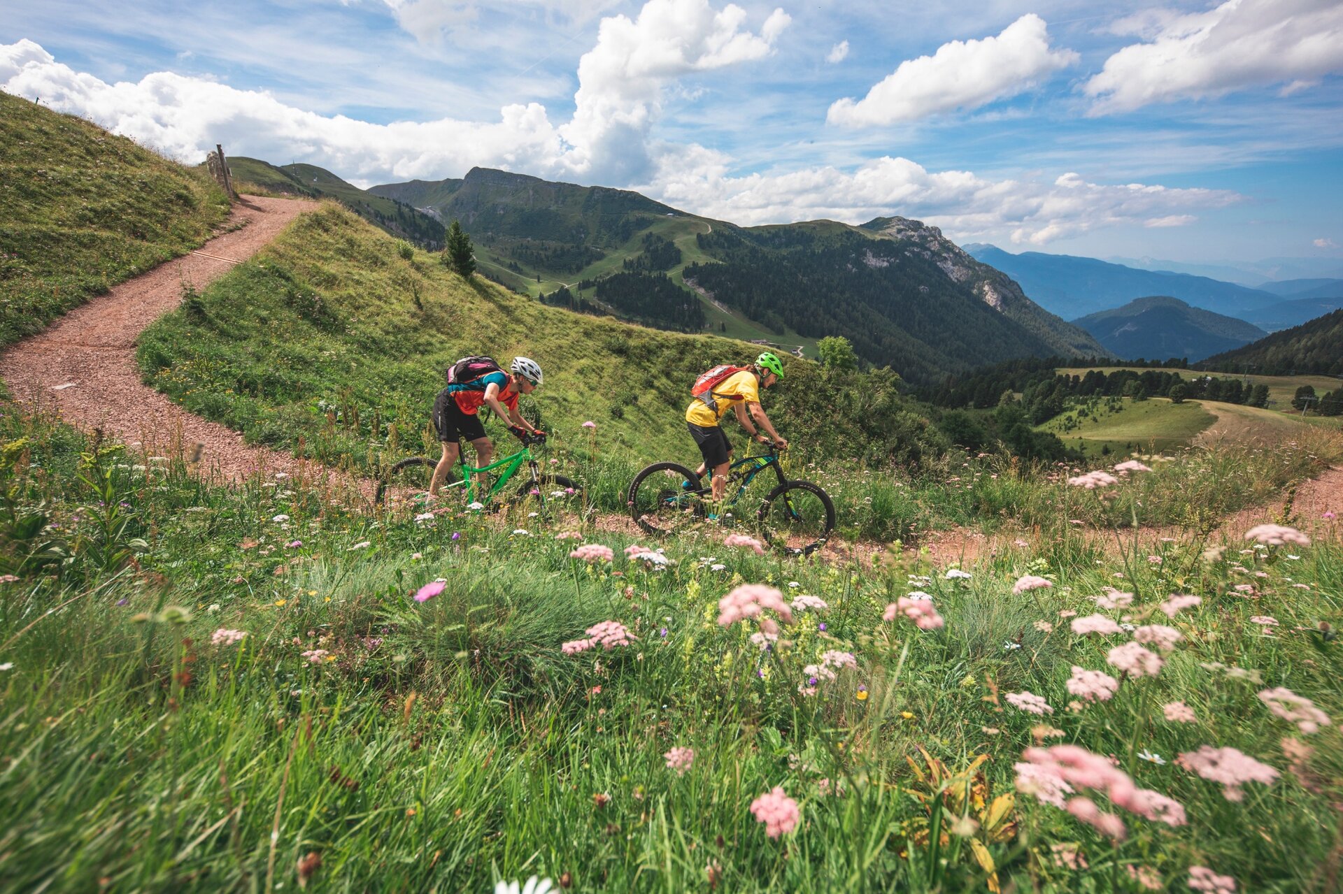
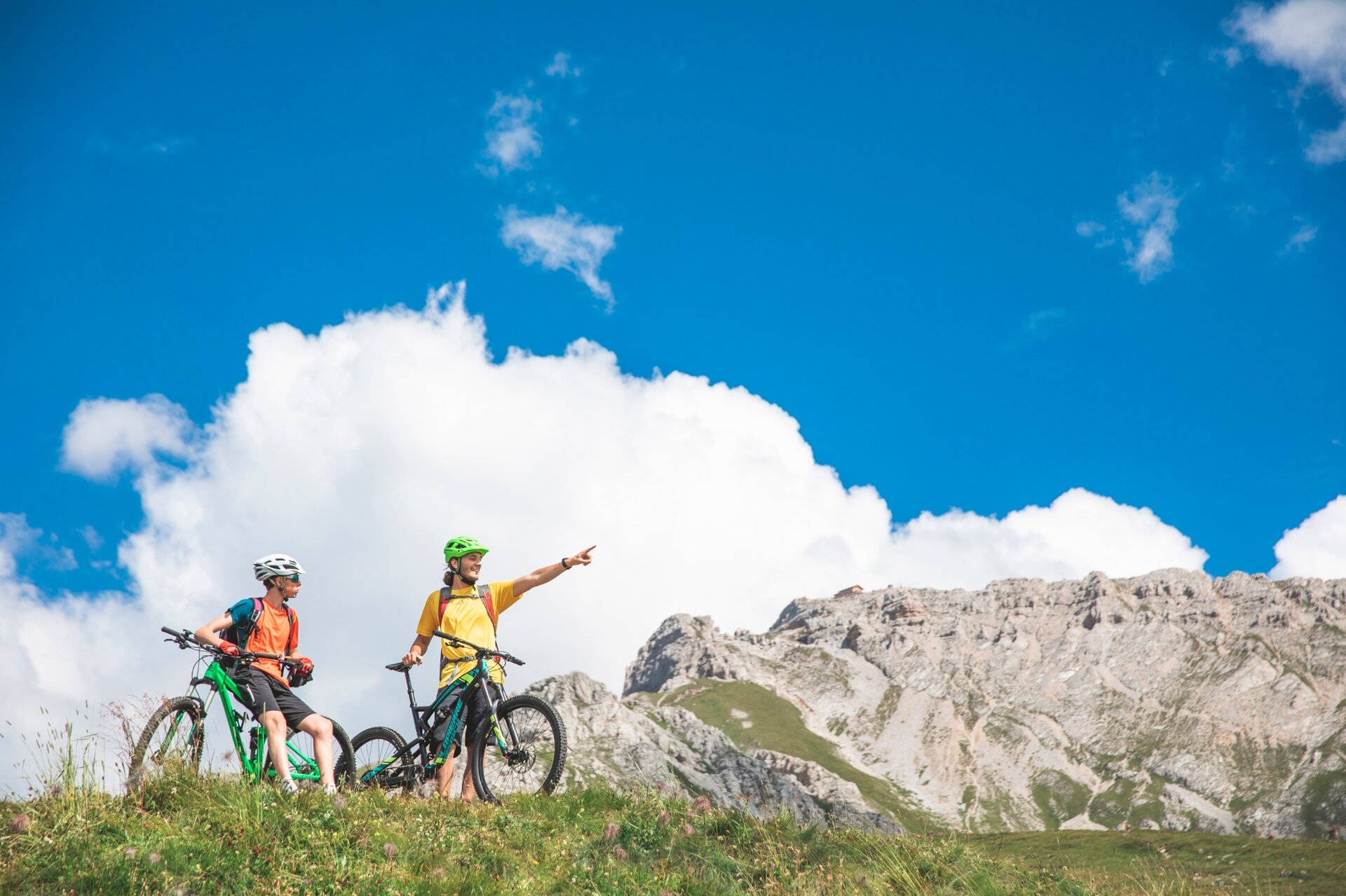
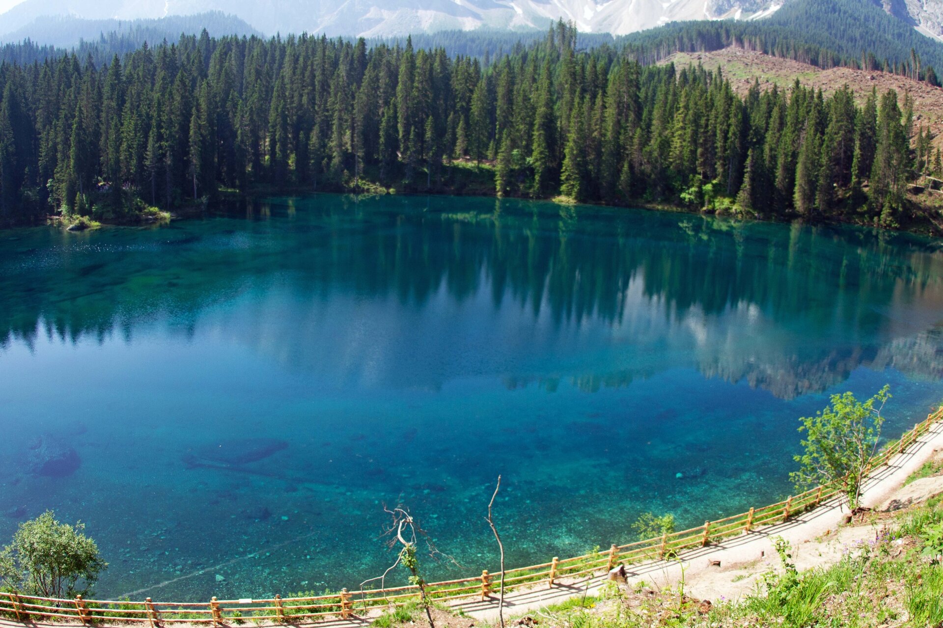
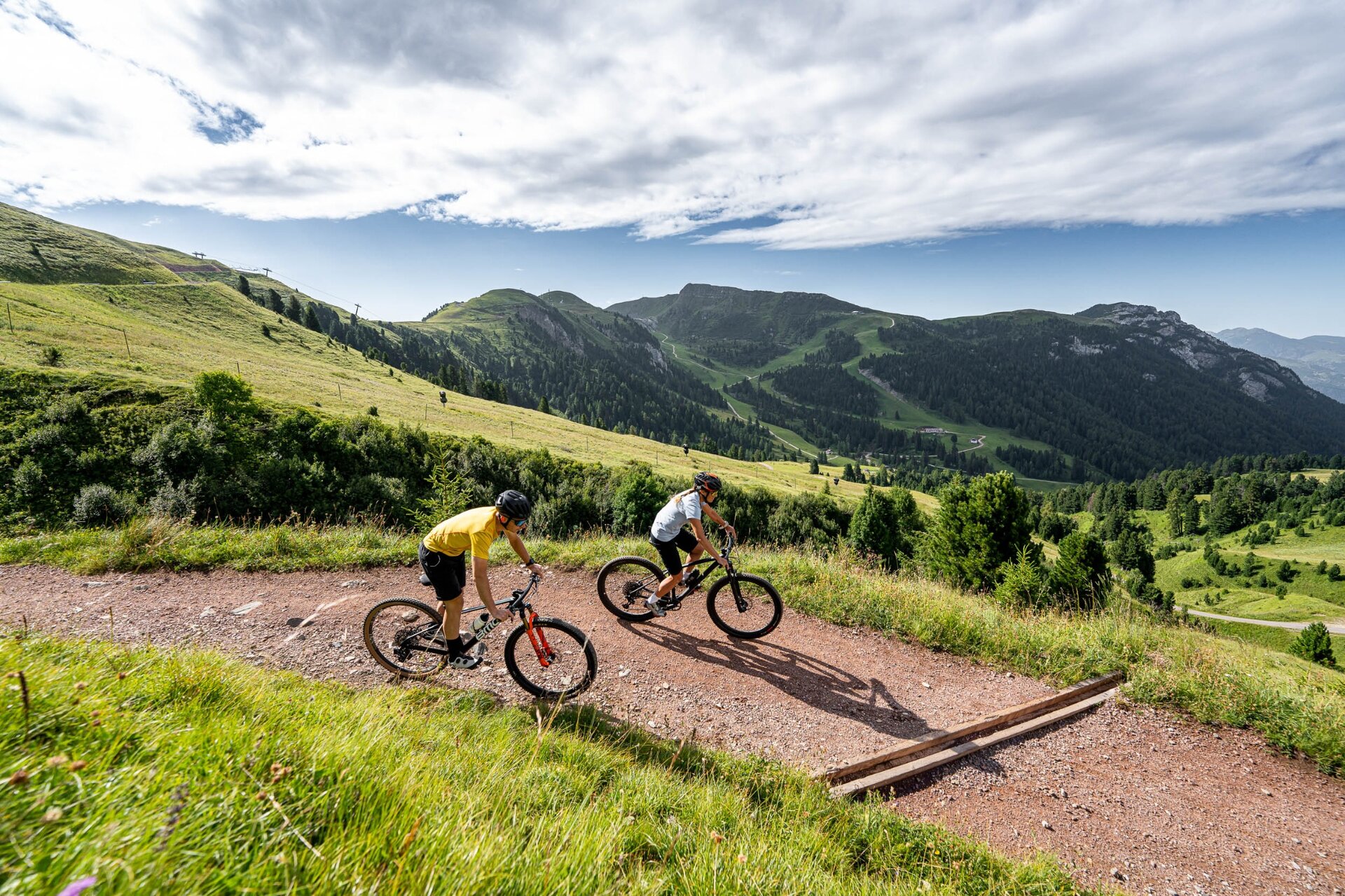
A perfect itinerary, full of evocative views of the Latemar and Catinaccio Dolomites. The stop at the crystal clear Lake Carezza, a pearl set among fir woods, is truly memorable.

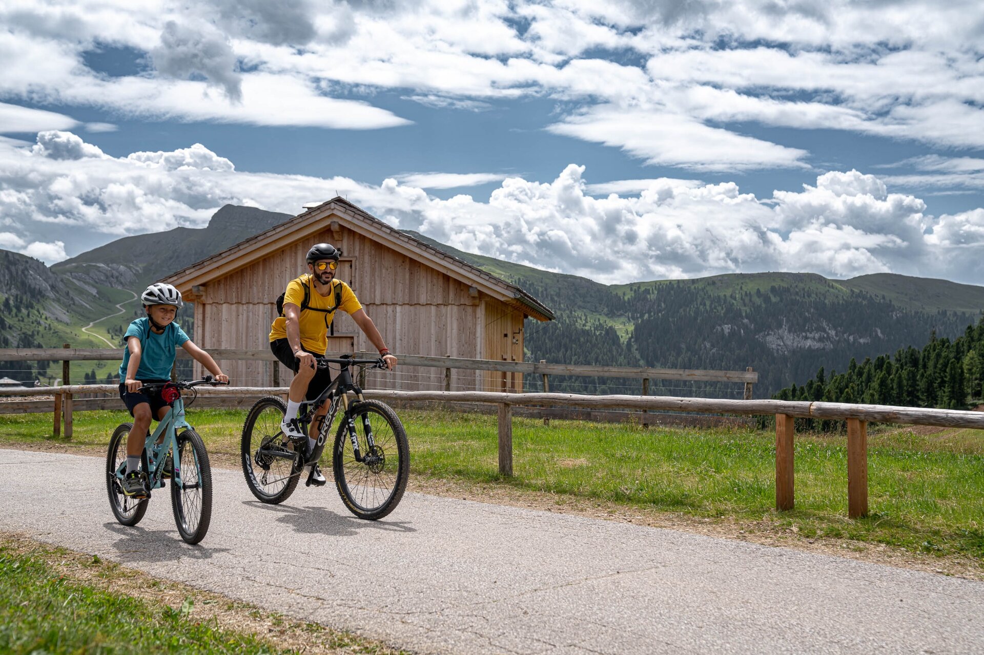
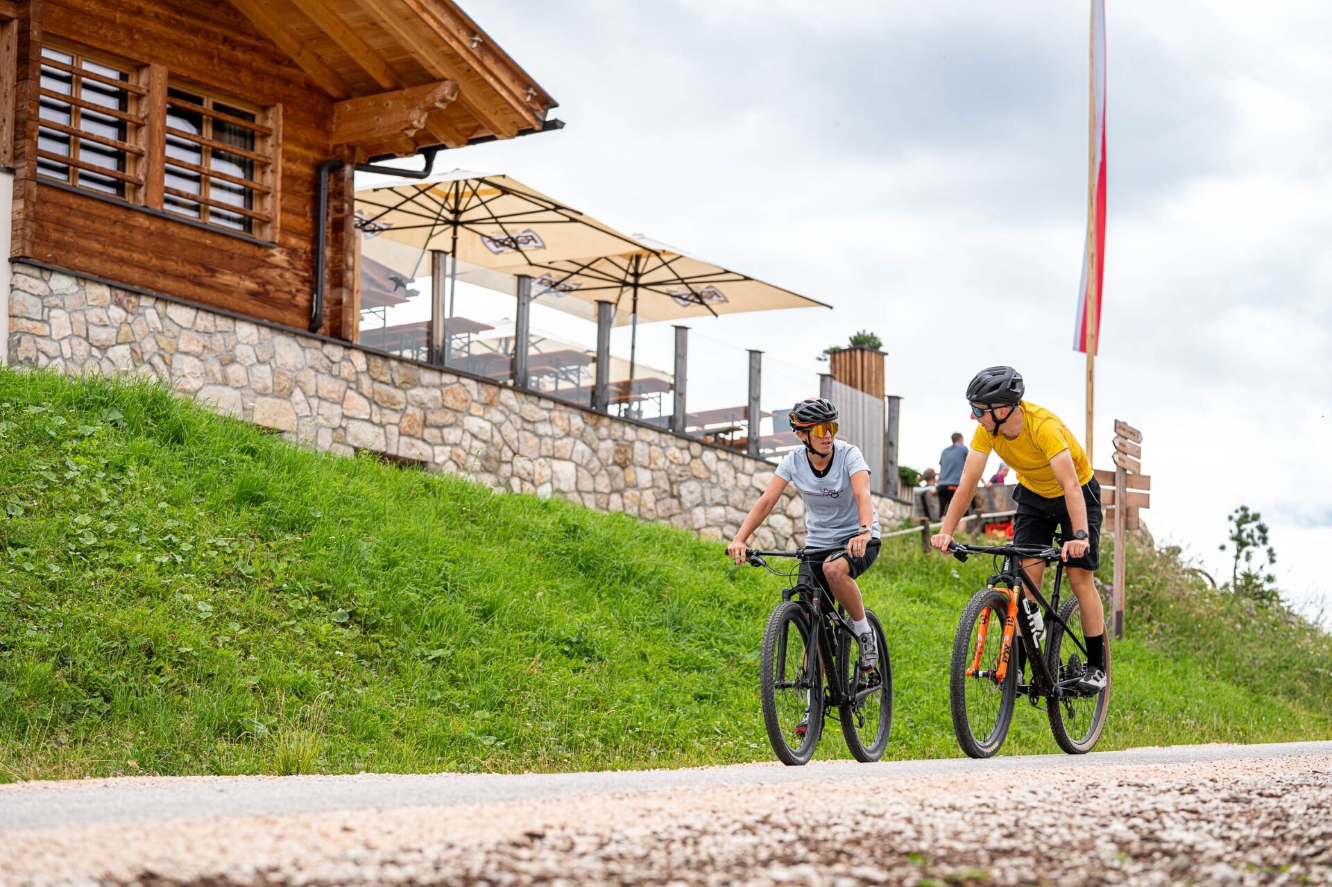
The great advantage of this fabulous itinerary is given by the fact that the lifts allow you to overcome most of the difference in altitude. The route winds its way through alpine pastures and pretty wooden huts, lush meadows and forests, in front of imposing Dolomite walls. You will also cross wide open spaces, evidence of the Vaia Storm of October 2018. The route partially crosses the province of Bolzano’s territory, where the signs are marked Latemar Ronda and the number of the tour is 354.
Further information and useful links

MORE INFORMATION

APT Val di Fiemme - Tel. +39 0462 241111  - www.visitfiemme.it   

Latemar MontagnAnimata - Tel. +39 0462 884400 - www.montagnanimata.it 

Tags
  • Scenic
  • Geological highlights
  • Insider tip
  • Round trip
  • Refreshment stops available
  • Cableway ascent/descent
Route data
Intermediate
Distance
37,2 km
Duration
4 h 00 min
Ascent
350 m
Decent
1.480 m
Physical condition
Scenary
Highest point
2.169 m
Lowest point
1.040 m
Suggestions

Also suitable for E-MTB. Transport of bicycles on cablecar + chairlift € 6,00.

You might be interested in
Discover related tours
The path above Cavalese | © R. Kiaulehn, APT Fiemme Cembra
Intermediate
Ville di Fiemme, Castello-Molina di Fiemme, Cavalese, Capriana
Trenches and the Brozin Biotope - Tour 923
Distance 25,8 km
Duration 3 h 00 min
Ascent 600 m
Decent 541 m
Val Venegia | © G. Panozzo, APT Fiemme Cembra
Intermediate
Predazzo
The amazing Val Venegia and Baita Segantini - Tour 934
Distance 18,6 km
Duration 3 h 00 min
Ascent 690 m
Decent 540 m
© Azienda per il Turismo Altopiano di Piné e Valle di Cembra
Intermediate
Cembra, Lisignago, Giovo
872 - Roccolo del Sauch
Distance 14,4 km
Duration 2 h 15 min
Ascent 492 m
Decent 482 m
© Azienda per il Turismo Altopiano di Piné e Valle di Cembra
Easy
Giovo
871 - Monte Corona
Distance 17,0 km
Duration 2 h 45 min
Ascent 647 m
Decent 650 m
© Azienda per il Turismo Altopiano di Piné e Valle di Cembra
Intermediate
Cembra, Lisignago, Faver, Grauno, Grumes, Valda
873 - Lago Santo - Potzmauer Pass
Distance 22,0 km
Duration 2 h 30 min
Ascent 832 m
Decent 833 m
© Azienda per il Turismo Altopiano di Piné e Valle di Cembra
Intermediate
Castello-Molina di Fiemme, Capriana, Faver, Grauno, Grumes, Valda
875 - Corno Mountain
Distance 24,1 km
Duration 4 h 30 min
Ascent 1.289 m
Decent 1.289 m