To the navigation Skip to main content To the footer
Top

Malga Bocche: a gorgeous landscape

Predazzo
Difficulty
Intermediate
Duration
2:30
in hours
Distance
9.3
in km
Categories
  • Hiking trail
Tags
  • Scenic
  • Insider tip
  • Suitable for strollers
  • Out and back
  • Refreshment stops available
  • Family-friendly
  • Cableway ascent/descent
Suggested period
Jan
Feb
Mar
Apr
May
Jun
Jul
Aug
Sep
Oct
Nov
Dec

A pleasant walk in the Paneveggio Natural Park towards unforgettable views!

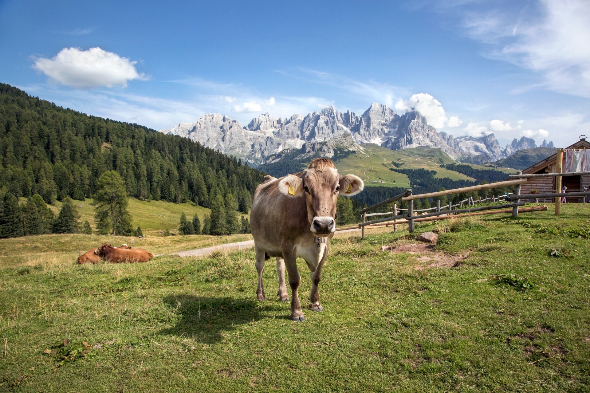
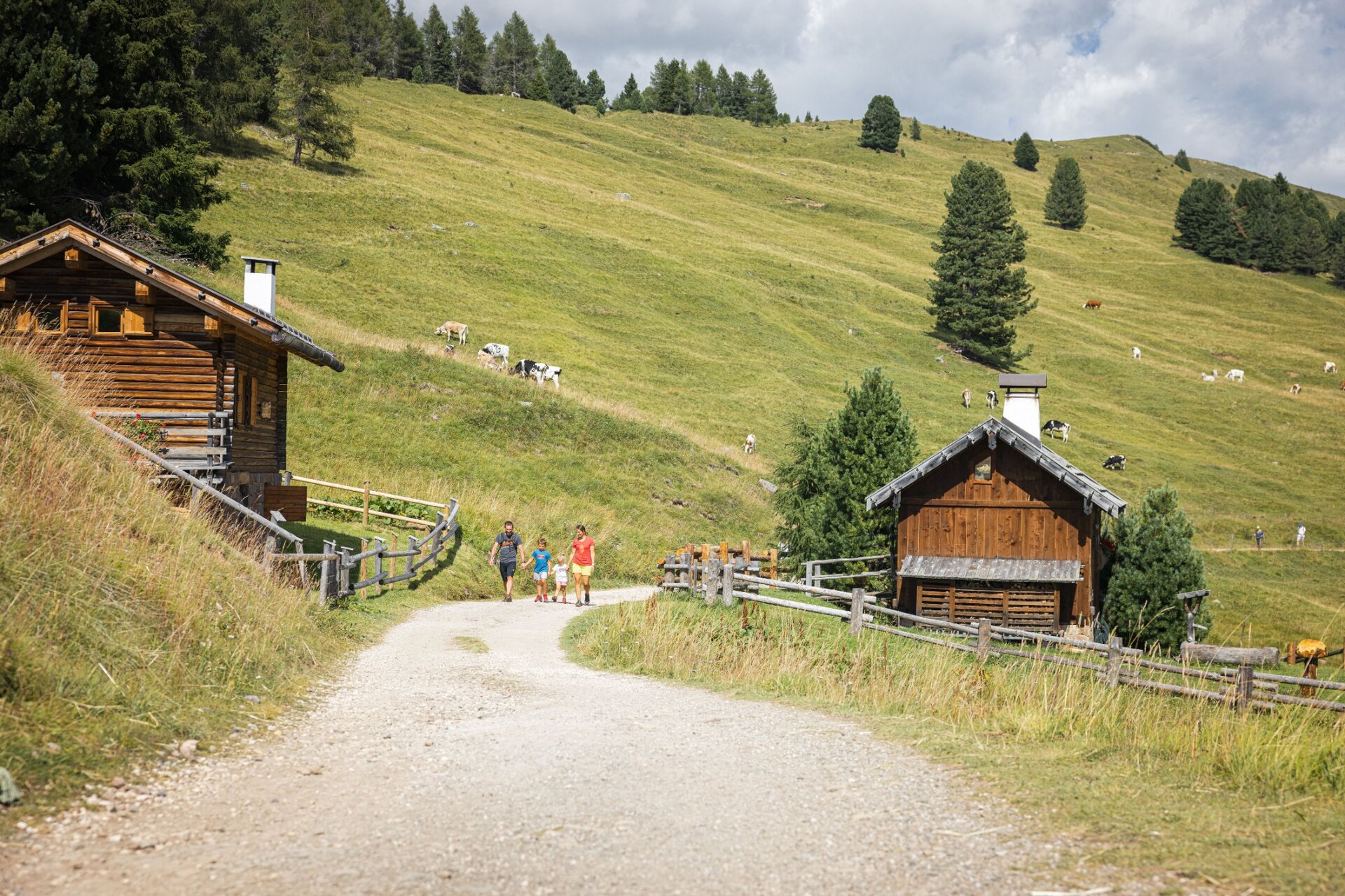
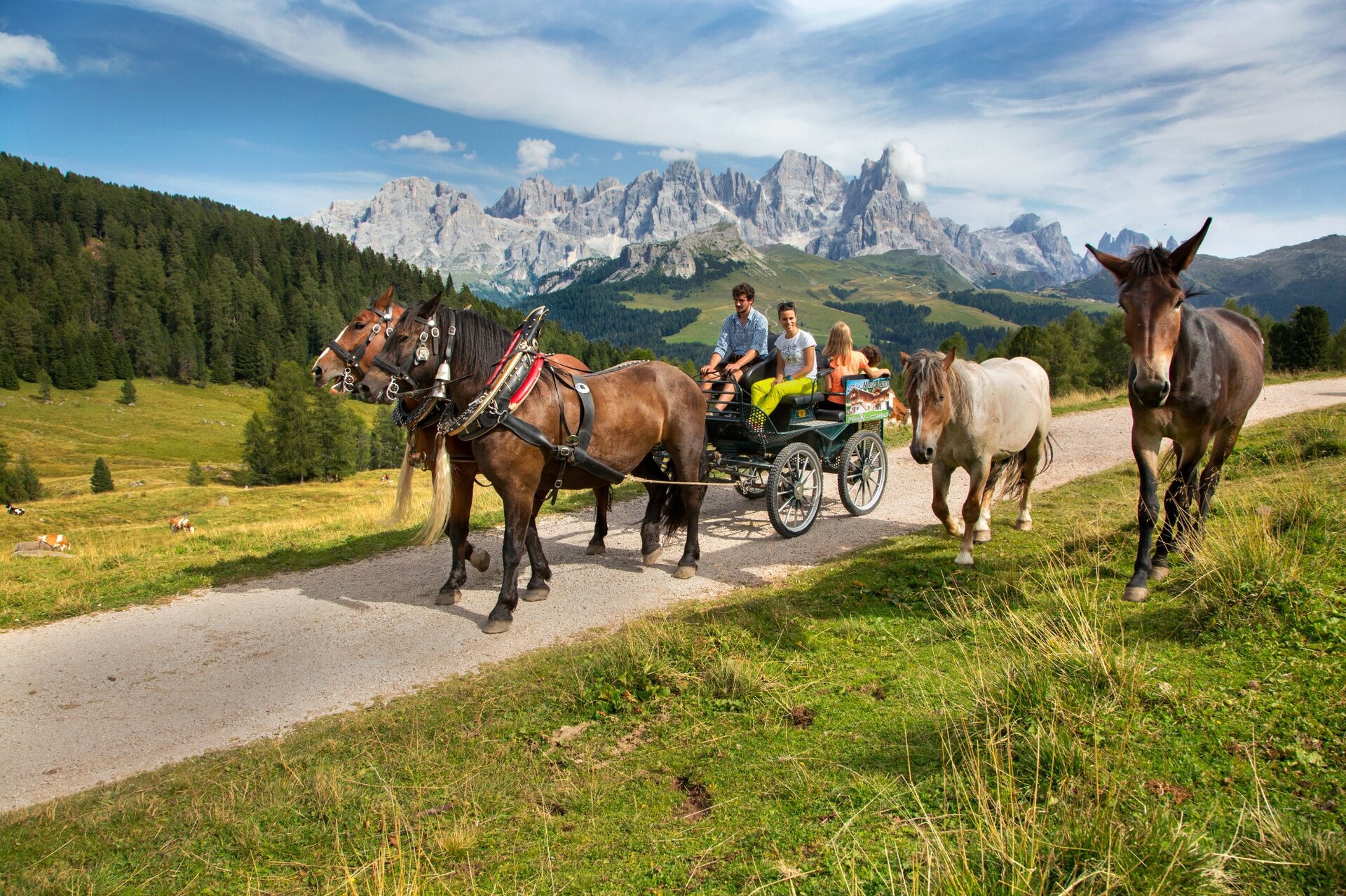
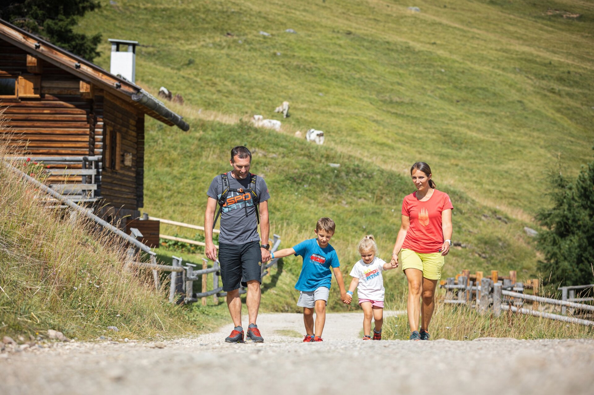
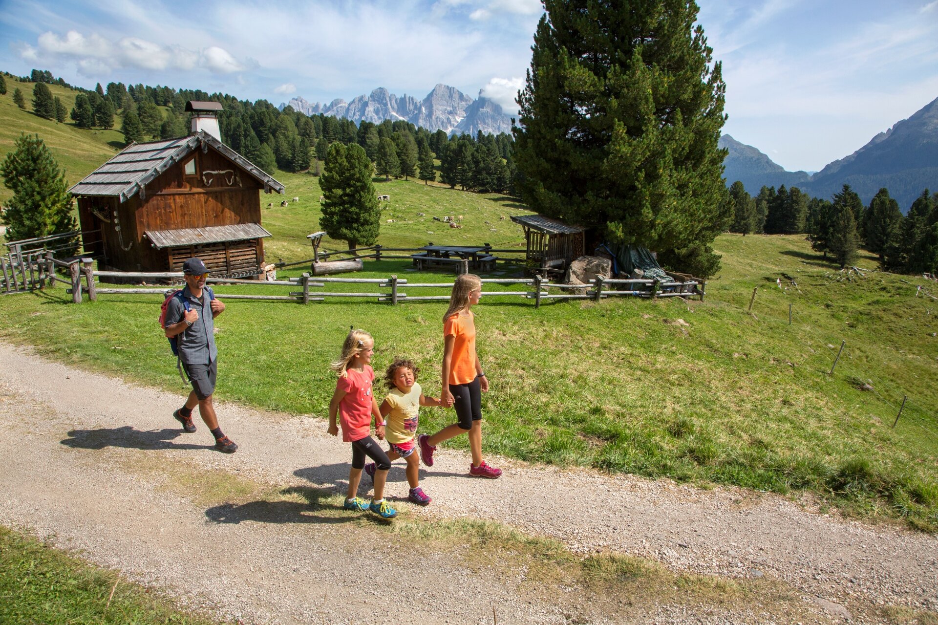
Close your eyes and visualize green pastures, bucolic wooden huts, the white rock of the Dolomites that stands out in the blue sky in front of you... this is the panorama that awaits you along one of the most beautiful walks in the valley. You will pass through the pastures of Canvere, where the old barns preserve the heritage of a peasant society active in those meadows until a few decades ago.

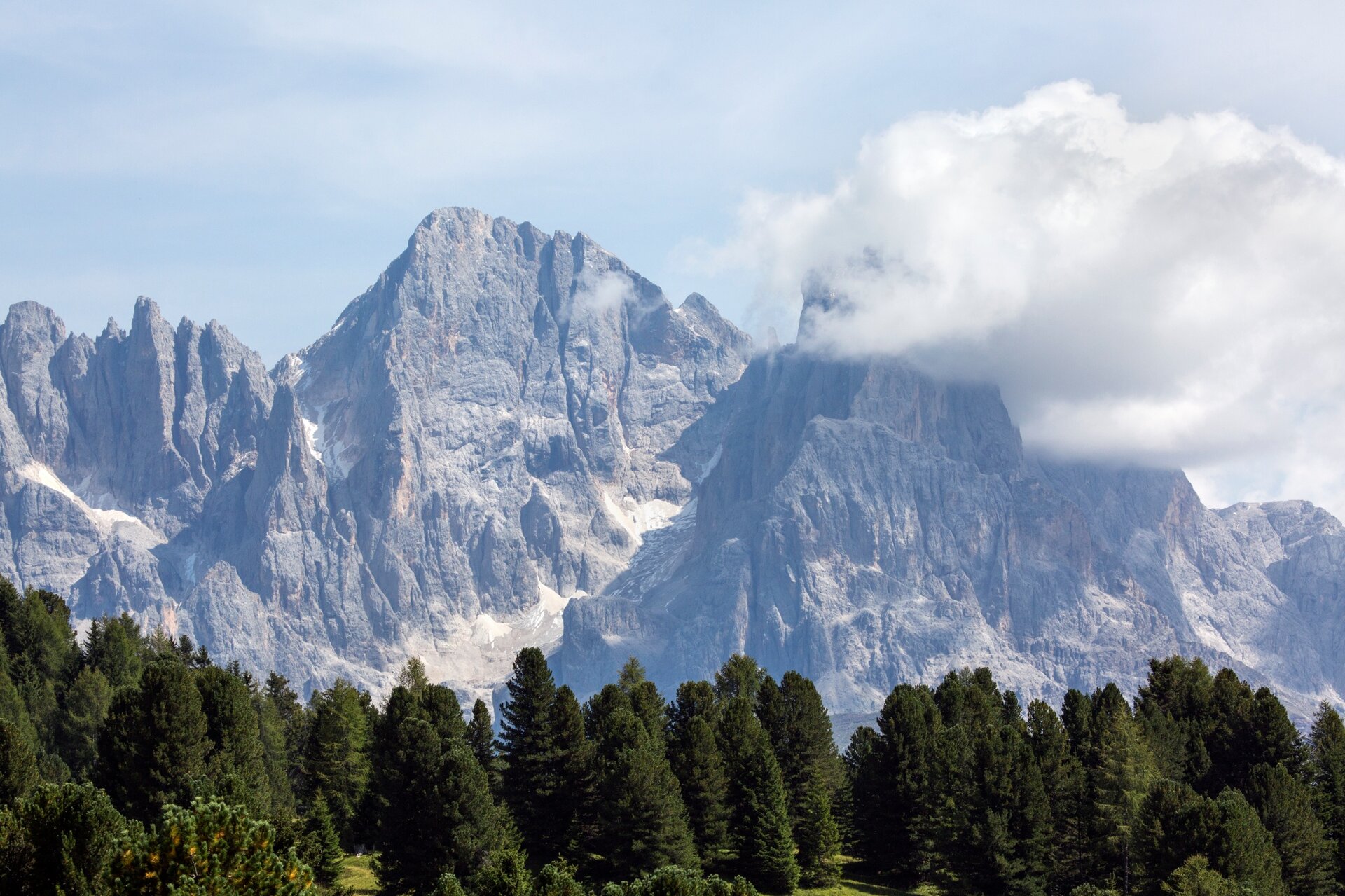
The malga overlooks one of the most rugged and imposing Dolomite groups, the Pale di San Martino, which can be admired in all their majesty from here. Enjoy Trentino cuisine on the outdoor wooden tables, topped with the beauty of the mountains.
Gallery
Further information and useful links

APT Val di Fiemme - Tel. +39 0462 241111 - info@visitfiemme.it - www.visitfiemme.it 

Alpe Lusia Bellamonte - Tel. +39 0462 576234 - bellamonte@alpelusia.it - www.alpelusia.it 

Categories
  • Hiking trail
Tags
  • Scenic
  • Insider tip
  • Suitable for strollers
  • Out and back
  • Refreshment stops available
  • Family-friendly
  • Cableway ascent/descent
Route data
Intermediate
Distance
9,3 km
Duration
2 h 30 min
Ascent
170 m
Decent
170 m
Physical condition
Scenary
Highest point
1.989 m
Lowest point
1.890 m
Suggestions

It is possible to make this excursion more challenging, by walking also the stretch from Castelir to Canvere. You will add about 430 mt heigh difference.

You might be interested in
Discover related tours
The crucifix | © Staff Outdoor Val di Fiemme, APT Fiemme Cembra
Easy
Ville di Fiemme
The cherry tree and the crucifix of Varena
Distance 4,5 km
Duration 2 h 30 min
Ascent 250 m
Decent 198 m
© Sara Zucal, Rete di Riserve Val di Cembra Avisio
Difficult
Sover, Segonzano
Segonzano - Sover, Cammino delle Terre Sospese
Distance 15,3 km
Duration 5 h 25 min
Ascent 724 m
Decent 631 m
© Sara Zucal, Rete di Riserve Val di Cembra Avisio
Segonzano, Faver, Grauno, Grumes, Valda, Lona-Lases, Cembra, Lisignago
Val di Cembra coast to coast
Distance 13,1 km
Duration 4 h 30 min
Ascent 750 m
Decent 750 m
© Visit Paganella
Intermediate
Giovo
Zambel Viewpoint
Distance 2,5 km
Duration 1 h 05 min
Ascent 155 m
Decent 155 m
© Sara Zucal, Rete di Riserve Val di Cembra Avisio
Easy
Capriana
The Larches of Prà del Manz
Distance 4,0 km
Duration 1 h 10 min
Ascent 141 m
Decent 136 m
Malga Bocche | © N. Delvai, APT Fiemme Cembra
Intermediate
Predazzo
Mountain Without Limits - From Morea to Malga Bocche
Distance 9,2 km
Duration 3 h 00 min
Ascent 160 m
Decent 160 m