SearchWebcamWeatherLifts
Top

Monte Pincaldo circular route from Faver

Faver, Grauno, Grumes, Valda, Cembra, Lisignago
Category
Difficulty
Easy
Duration
1:45
in hours
Distance
5.6
in km
Status
open
Suggested period
Jan
Feb
Mar
Apr
May
Jun
Jul
Aug
Sep
Oct
Nov
Dec
A circular route in the mixed woods of Val di Cembra, around Monte Pincaldo, where you can relax and observe the surrounding nature.
Starting from the grassy basin of Ponciach, the itinerary steadily climbs on a beautiful paved road under the shade of beeches until, after a long climb, reaching the locality of Zise. From there, the route becomes gentler with ups and downs in the beech, Norway spruce, and silver fir forest, where it is not difficult to find traces of squirrels, foxes, and roe deer, or to hear the drumming of woodpeckers and the call of coal tits. The route then completes a circular loop around Monte Pincaldo and with a long descent returns to the starting point at Ponciach.
Further information and useful links

Rete di Riserve Alta Val di Cembra-Avisio

www.reteriservevaldicembra.tn.it

Visit Trentino

www.visittrentino.info

Meteotrentino

www.meteotrentino.it

Tags
  • Round trip
Route data
Easy
Distance
5,6 km
Duration
1 h 45 min
Ascent
290 m
Decent
290 m
Physical condition
Scenary
Highest point
1.297 m
Lowest point
1.011 m
Suggestions
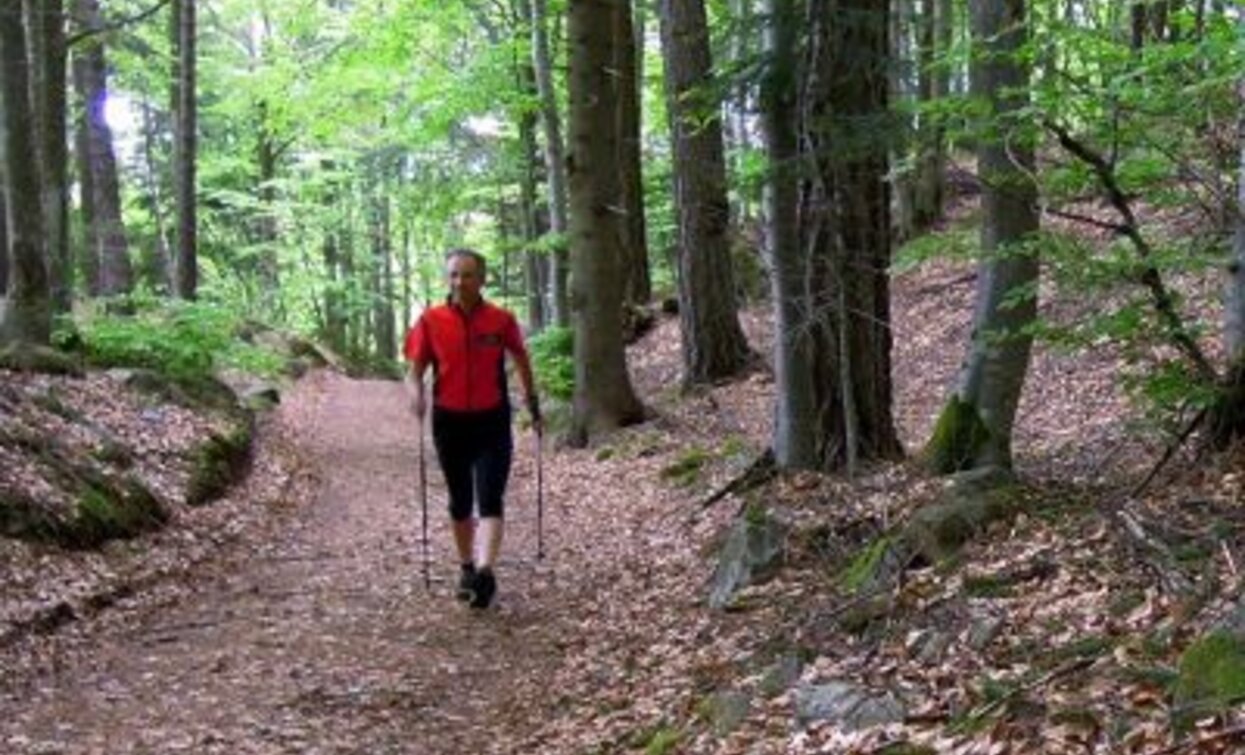
The route is suitable for those who want to take a short hike and is particularly recommended for those who want to combine walking with the practice of Nordic Walking.
Safety guidelines

Although the route does not present particular technical difficulties or dangerous sections, we always recommend respecting the general safety rules for mountain hikes in any case.

The information contained in this sheet is subject to inevitable changes, so no indication has absolute value. It is not possible to completely avoid inaccuracies or imprecisions, considering the rapid environmental or weather changes that can occur. In this sense, we decline all responsibility for any changes suffered by the user. It is recommended, however, to check, before making a hike, the condition of the places and the environmental or weather conditions.

  • Prepare your itinerary
  • Choose a route suited to your preparation
  • Choose suitable equipment and gear
  • Consult weather reports
  • Starting alone is riskier
  • Leave information about your itinerary and your approximate return time
  • Do not hesitate to rely on a professional
  • Pay attention to the signs and markings you find on the route
  • Do not hesitate to retrace your steps
  • In case of an accident, raise the alarm by calling number 112
Starting point
Ponciach (Faver-Altavalle)
Directions
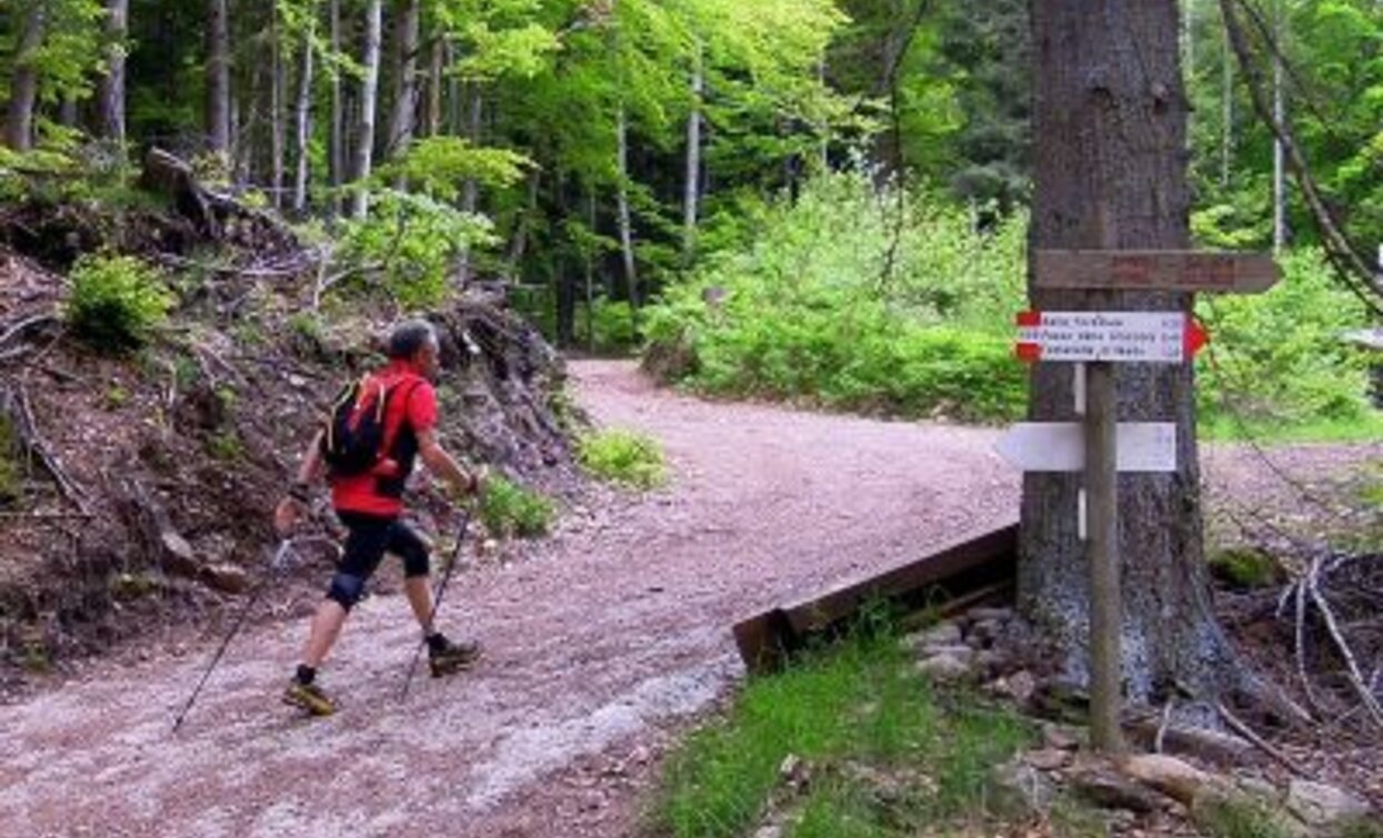
The route starts near the two small lakes found just upon arriving at the hamlet of Ponciach (Faver-Altavalle). Climbing along trail 415A, you reach the locality of Zise, a crossroads of forest roads with a wooden crucifix in the center. From here, continue turning towards Lago Santo and following trail 415 until you reach the Botanical Naturalistic Trail that will bring you descending back to Ponciach.
How to get there

For those coming from Trento, follow SS.612 north towards Faver where, at the entrance of the village, follow the signs for Ponciach which is 3.5 km away.

For those coming from Val di Fiemme, follow SS 612 to the village of Faver, pass the tunnel and upon reaching the roundabout, return towards the village. At the beginning of the settlement, follow the signs for Ponciach which is about 3.5 km away.

Where to park
Free parking at the beginning of the hamlet of Ponciach near two small lakes
Trekking shoes or mountain bootsTrekking poles
You might be interested in
Discover related tours
The peat bog of Lago Nero | © Alessandro Cristofoletti, Rete di Riserve Val di Cembra Avisio
Difficult
Capriana, Castello-Molina di Fiemme
The high altitude peat bogs of Monte Corno
Distance 14,9 km
Duration 5 h 00 min
Ascent 600 m
Decent 600 m
Status
open
Cece Spitze | © G. Zanon, APT Fiemme Cembra
Difficult
Predazzo
Translagorai - Stage 4
Distance 15,0 km
Duration 7 h 00 min
Ascent 1.000 m
Decent 1.240 m
Lac del Vedes, one of the most beautiful peat bogs in Trentino | © Stefano Campo, Rete di Riserve Val di Cembra Avisio
Easy
Faver, Grauno, Grumes, Valda
Lac del Vedes, a treasure trove of biodiversity
Distance 14,6 km
Duration 6 h 00 min
Ascent 700 m
Decent 700 m
Status
open
Brutto Lake | © A. Campanile, APT Fiemme Cembra
Difficult
Ziano di Fiemme, Predazzo
Translagorai - Stage 3
Distance 9,6 km
Duration 5 h 00 min
Ascent 1.300 m
Decent 520 m
The Potzmauer refuge in winter version | © Sara Zucal, Rete di Riserve Val di Cembra Avisio
Easy
Faver, Grauno, Grumes, Valda
Hike to Rifugio Potzmauer - from Ponciach
Distance 13,1 km
Duration 5 h 45 min
Ascent 540 m
Decent 540 m
Status
open
The Venetian sawmill operated thanks to the power of water | © Sara Zucal, Rete di Riserve Val di Cembra Avisio
Intermediate
Faver, Grauno, Grumes, Valda
Thematic route “From the Forest to Home”
Distance 6,4 km
Duration 3 h 00 min
Ascent 400 m
Decent 400 m