
To the navigation Skip to main content To the footer
Top

Ring route of Segonzano

Segonzano
Difficulty
Easy
Duration
5:00
in hours
Distance
13.9
in km
Categories
  • Mountain tour
Tags
  • Scenic
  • Geological highlights
  • Fauna
  • Round trip
  • Refreshment stops available
  • Cultural/historical interest
  • Flora
Suggested period
Jan
Feb
Mar
Apr
May
Jun
Jul
Aug
Sep
Oct
Nov
Dec

This route is interesting both for geological and naturalistic reasons. It includes long stretches along ancient mule paths across woods and several opportunities for a rest in picturesque hamlets.
What's more: the presence of a pilgrimage site dedicated to Mary Help of Christians ('Santuario della Madonna dell'Aiuto') adds an important artistic and religious dimension to the hike.
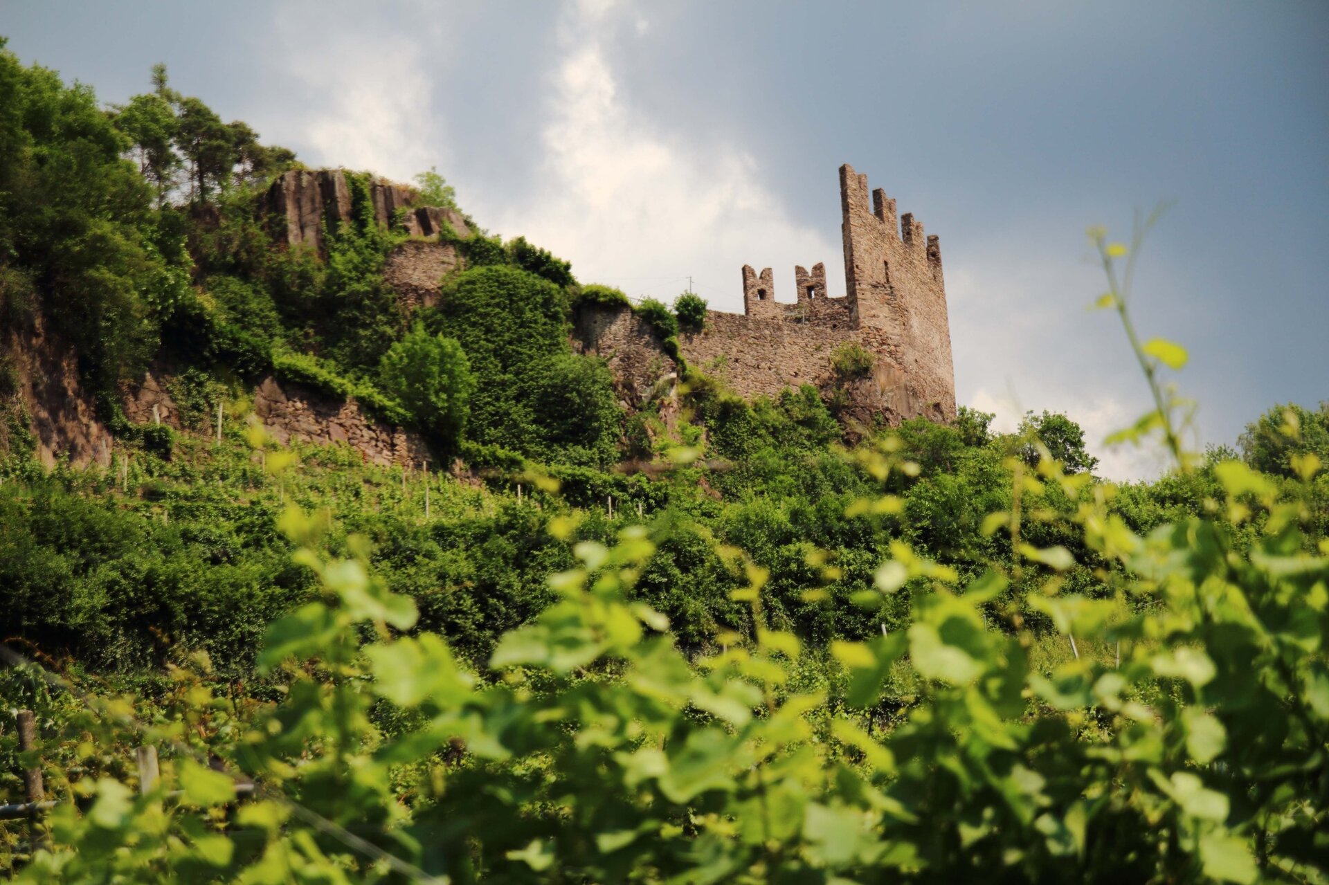
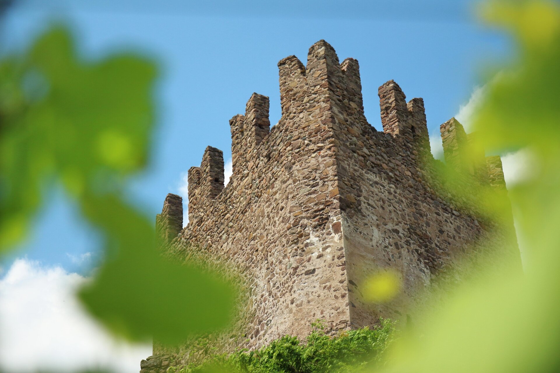
Gallery
Further information and useful links

Ufficio Turistico Cembra - Tel. +39 0461 683110 - info@visitvaldicembra.it – www.visitvaldicembra.it  

Categories
  • Mountain tour
Tags
  • Scenic
  • Geological highlights
  • Fauna
  • Round trip
  • Refreshment stops available
  • Cultural/historical interest
  • Flora
Route data
Easy
Distance
13,9 km
Duration
5 h 00 min
Ascent
729 m
Decent
729 m
Physical condition
Scenary
Highest point
1.206 m
Lowest point
519 m
You might be interested in
Discover related tours
The peat bog in spring becomes a breeding ground for various species of amphibians | © Sara Zucal, Rete di Riserve Val di Cembra Avisio
Intermediate
Faver, Grauno, Grumes, Valda
Excursion to Lake Valda - from Ponciach
Distance 9,8 km
Duration 4 h 30 min
Ascent 500 m
Decent 500 m
Status
open
© Andrea Monticelli, APT Trento
Intermediate
Cembra, Lisignago, Faver, Grauno, Grumes, Valda, Segonzano
On the European path E5 with taste
Distance 11,7 km
Duration 5 h 25 min
Ascent 668 m
Decent 671 m
The peat bog of Lago Nero | © Alessandro Cristofoletti, Rete di Riserve Val di Cembra Avisio
Difficult
Capriana, Castello-Molina di Fiemme
The Monte Corno high altitude peat bogs
Distance 14,9 km
Duration 5 h 00 min
Ascent 600 m
Decent 600 m
Status
open
Cauriol summit cross | © A. Campanile, APT Fiemme Cembra
Difficult
Ziano di Fiemme, Predazzo
Cima Cauriol: a symbol of the First World War
Distance 14,5 km
Duration 6 h 00 min
Ascent 990 m
Decent 990 m
Panorama of the Avisio from the Botanical Path between Grauno and Capriana | © Sara Zucal, Rete di Riserve Val di Cembra Avisio
Easy
Capriana, Faver, Grauno, Grumes, Valda
Naturalistic botanical footpath
Distance 11,8 km
Duration 4 h 30 min
Ascent 300 m
Decent 300 m
The Potzmauer refuge in winter version | © Sara Zucal, Rete di Riserve Val di Cembra Avisio
Intermediate
Faver, Grauno, Grumes, Valda
Hike to Rifugio Potzmauer - from Ponciach
Distance 13,1 km
Duration 5 h 45 min
Ascent 540 m
Decent 540 m
Status
open