SearchWebcamWeatherLifts
Top

Round tour of the mountain Pincaldo in Faver

Faver, Grauno, Grumes, Valda, Cembra, Lisignago
Category
Difficulty
Easy
Duration
1:45
in hours
Distance
5.6
in km
Status
open
Suggested period
Jan
Feb
Mar
Apr
May
Jun
Jul
Aug
Sep
Oct
Nov
Dec
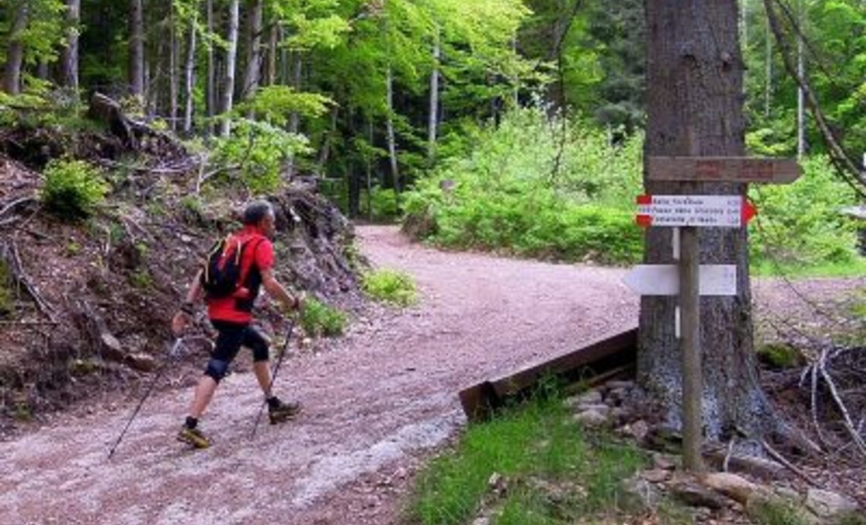
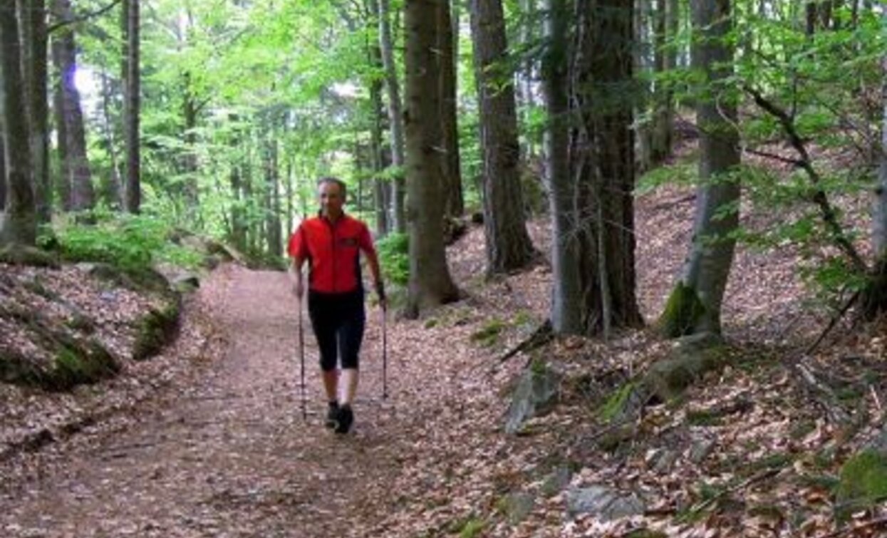
A round tour into the mixed woods of the valley Val di Cembra, around the mountain Pincaldo, to relax and observe the nature.
Starting from the lawns hollow of Ponciach this itinerary regularly climbs on a beautiful cobbled road in the shadows of the beech trees to reach after a long way uphill the place named Zise. From there the path smoothly goes on ups and downs into a wood of beech, spruce and white fir where you can easily find tracks of squirrels, foxes and roe deers or hear the tap of the woodpecker and the call of the coal tit.
Further information and useful links

Rete di Riserve Alta Val di Cembra-Avisio

www.reteriservevaldicembra.tn.it


Visit Trentino

www.visittrentino.info


Meteotrentino

www.meteotrentino.it


Route data
Easy
Distance
5,6 km
Duration
1 h 45 min
Ascent
290 m
Decent
290 m
Physical condition
Scenary
Highest point
1.297 m
Lowest point
1.011 m
Suggestions
This trail is appropriate for a short walk, but it is strongly suggested in combination with some Nordic Walking practice.
Safety guidelines

Even if this trail is not technically difficult and has no dangerous stretches, we always and in any case suggest to follow the general rules on safety for mountain hikes.

  • Prepare your itinerary
  • Choose an excursion appropriate for your real ability and training level
  • Choose the fitting equipment
  • Check the weather forecast
  • Hiking alone is risky
  • Give details about your itinerary and about the approximate hour of your return
  • Do not hesitate to entrust you to an expert
  • Pay attention to the indication and signals you will find along your journey
  • Do not hesitate to retrace your steps
  • In case of accident: ask for help and call the number 112
Starting point
Ponciach (Faver-Altavalle)
Directions
The itinerary starts near the two little lakes which can be found as soon as you arrive at the hamlet Ponciach (Faver-Altavalle). Climbing path 415A you will reach the place Zise, a crossroads of forest roads with a wooden crucifix in the middle. From there continue toward the lake Lago Santo and following path 415 until it crosses the trail Sentiero Botanico Naturalistico (botanic naturalistic trail) which brings back down to Ponciach.
How to get there

To drive here from Trento, you need to follow the main road S.S. 612 north toward Faver. At the entrance of the town follow the signs toward Ponciach that you will reach in about 3,5 km from there.


To drive here from the valley Val di Fiemme, you need to follow the main road S.S. 612 toward Faver. Pass the tunnel and at roundabout drive back to the town. At the entrance of the town follow the signs toward Ponciach that you will reach in about 3,5 km from there.

Where to park
Free parking at the entrance of the hamlet Ponciach near the two little lakes.

Trekking shoes or mountain boots

Trekking poles

You might be interested in
Discover related tours
© Stefano Campo, Rete di Riserve Val di Cembra Avisio
Intermediate
Faver, Grauno, Grumes, Valda
The historic crafts footpath - from Grumes
Distance 5,3 km
Duration 3 h 00 min
Ascent 400 m
Decent 400 m
Torre di Pisa | © M. Rizzi, APT Val di Fiemme
Intermediate
Tesero, Predazzo
Torre di Pisa mountain hut
Distance 9,0 km
Duration 5 h 00 min
Ascent 800 m
Decent 800 m
Cece lake | © A. Campanile, APT Val di Fiemme
Easy
Predazzo
Cece Lake
Distance 7,0 km
Duration 3 h 00 min
Ascent 380 m
Decent 380 m
Cima Viezzena | © N. Delvai, APT Val di Fiemme
Intermediate
Predazzo
Cima Viezzena
Distance 9,5 km
Duration 4 h 00 min
Ascent 590 m
Decent 590 m
© Sara Zucal, Rete di Riserve Val di Cembra Avisio
Easy
Segonzano
The Segonzano Pyramids trail
Distance 3,9 km
Duration 2 h 30 min
Ascent 300 m
Decent 300 m
Cece Peak | © G. Zanon, APT Val di Fiemme
Difficult
Predazzo
Translagorai - Stage 4
Distance 15,0 km
Duration 7 h 00 min
Ascent 1.000 m
Decent 1.240 m