To the navigation Skip to main content To the footer
Top

Short walk between White-and Black Horn

Ville di Fiemme
Difficulty
Easy
Duration
1:30
in hours
Distance
4.7
in km
Categories
  • Hiking trail
Tags
  • Scenic
  • Geological highlights
  • Insider tip
  • Suitable for strollers
  • Round trip
  • Refreshment stops available
  • Family-friendly
Suggested period
Jan
Feb
Mar
Apr
May
Jun
Jul
Aug
Sep
Oct
Nov
Dec
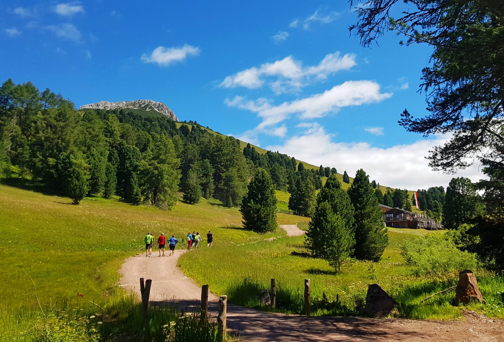
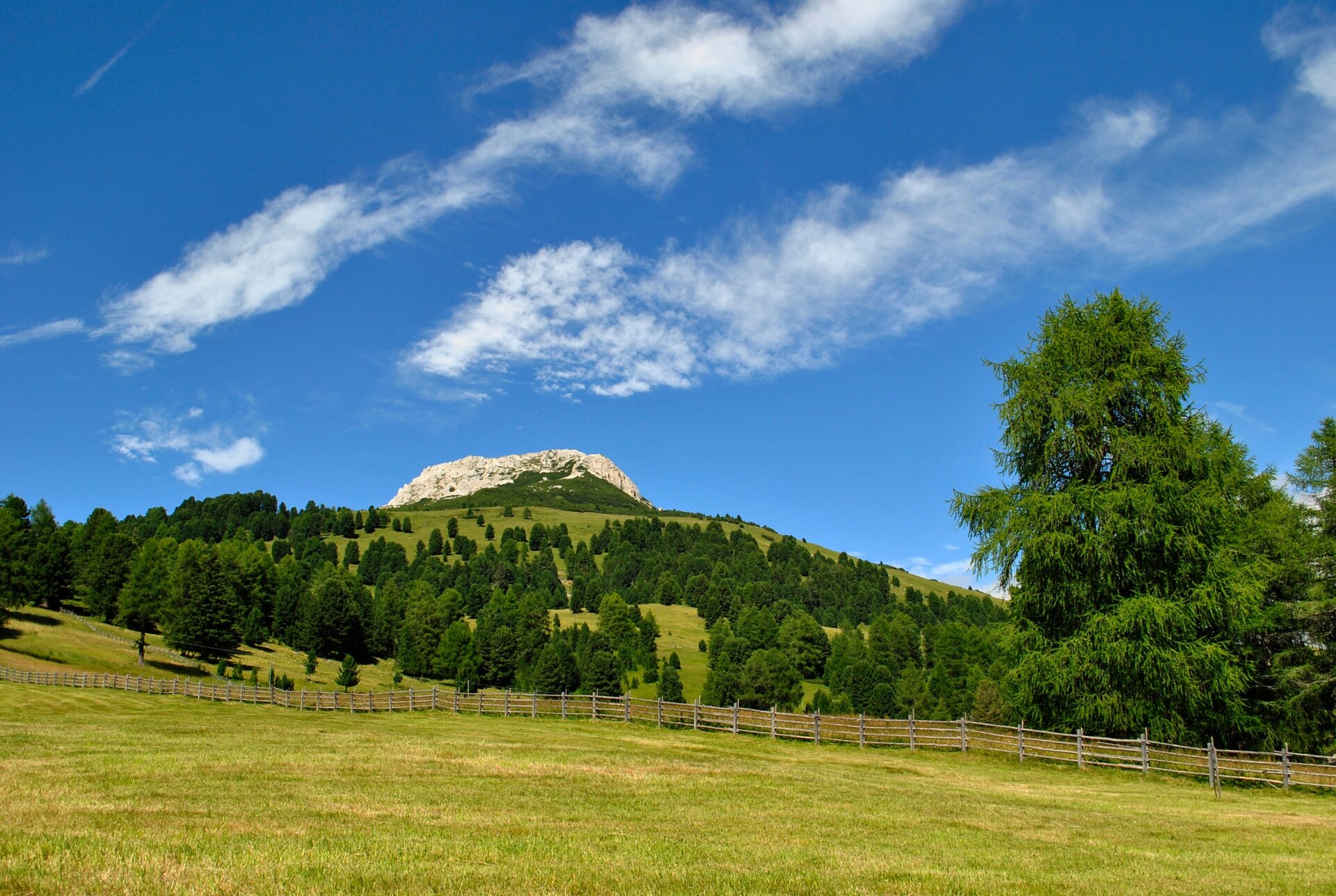
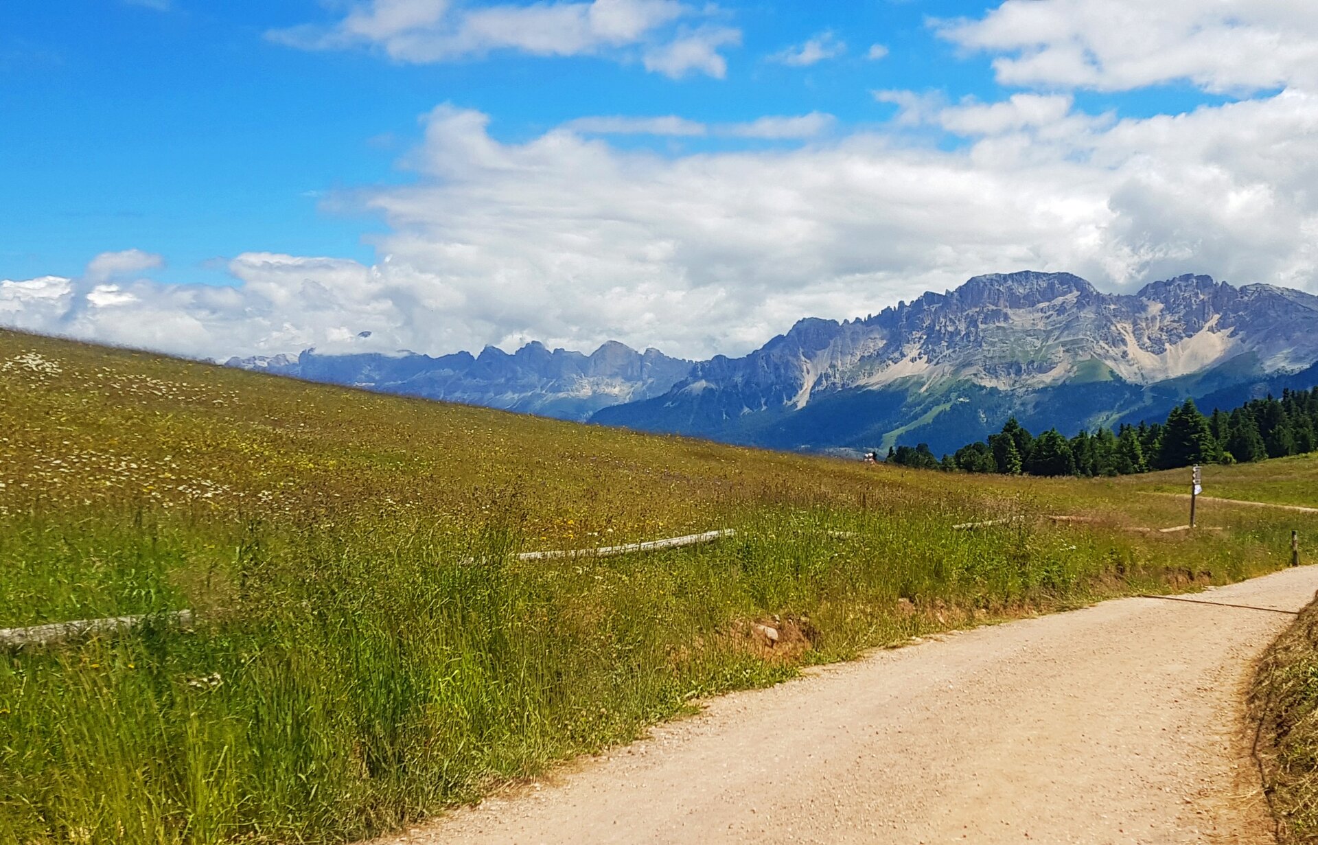
A walk through meadows and pastures covered with colorful flowers. Panoramic views of the distant Brenta Dolomites and the nearby Latemar and Catinaccio Dolomites.

Pleasant walk without difficulty, at an altitude of 2000 meters. You walk towards the horizon, dominated by the two opposite peaks that frame the Oclini Pass: Corno Bianco, with a clear dolomitic rock, and Corno Nero, with a dark volcanic rock. The dirt road slopes gently towards Baita Isi, passing through the Gurndin Malga: small chests of good South Tyrolean food, surrounded by pastures embellished in summer by numerous flowers, cows, goats and pigs in freedom.

The last part of the tour that lead back to the starting point are moderately uphill, along a meadow that is a ski slope in winter, with a few more stones than the first comfortable stretch.

A short detour before Malga Gurndin along the path "H" allows you to reach a panoramic point where a sign announces that you are near the Bletterbach, a UNESCO World Heritage Site, a deep gorge carved into the rock, famous for its geological richness and fossils.
Gallery
Further information and useful links

APT Val di Fiemme - Tel. +39 0462 241111 - info@visitfiemme.it - www.visitfiemme.it 

Categories
  • Hiking trail
Tags
  • Scenic
  • Geological highlights
  • Insider tip
  • Suitable for strollers
  • Round trip
  • Refreshment stops available
  • Family-friendly
Route data
Easy
Distance
4,7 km
Duration
1 h 30 min
Ascent
160 m
Decent
160 m
Physical condition
Scenary
Highest point
1.991 m
Lowest point
1.834 m
Suggestions
We recommend doing this tour at least once in the late afternoon, when the sky turns red at sunset.
You might be interested in
Discover related tours
The waterfall of Predazzo | © D. Ragnes, APT Fiemme Cembra
Easy
Predazzo, Ziano di Fiemme
The waterfall of Predazzo
Distance 3,2 km
Duration 1 h 00 min
Ascent 134 m
Decent 134 m
Avisio River Park | © G. Panozzo, APT Fiemme Cembra
Easy
Ziano di Fiemme, Predazzo
The fluvial park along the Avisio
Distance 6,0 km
Duration 1 h 45 min
Ascent 50 m
Decent 50 m
© Visit Paganella
Easy
Giovo
Zambel Viewpoint
Distance 1,2 km
Duration 35 min
Ascent 109 m
Decent 46 m
Easy
Tesero, Predazzo
Geotrail Dos Capèl – Dolomites, what a discovery!
Distance 5,4 km
Duration 2 h 00 min
Ascent 262 m
Decent 262 m
© Staff Outdoor Val di Fiemme ND, APT Fiemme Cembra
Intermediate
Tesero
Montagna Senza Limiti - Pampeago, la montagna che osserva
Distance 6,5 km
Duration 2 h 00 min
Ascent 201 m
Decent 201 m
San Valerio Tower | © M. Morandini, APT Fiemme Cembra
Easy
Cavalese
“Steps through time” in Cavalese
Distance 4,1 km
Duration 2 h 00 min
Ascent 130 m
Decent 130 m