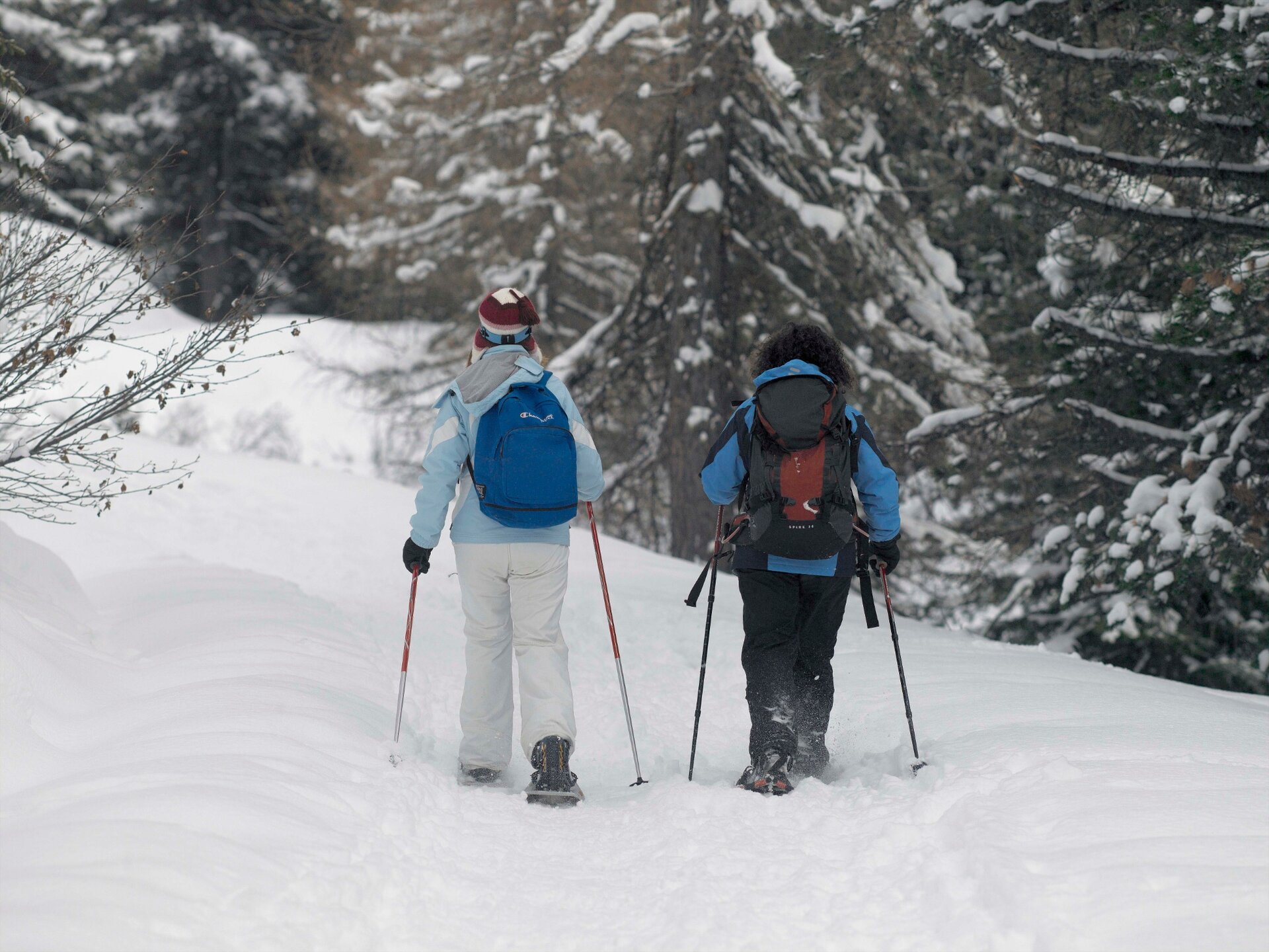
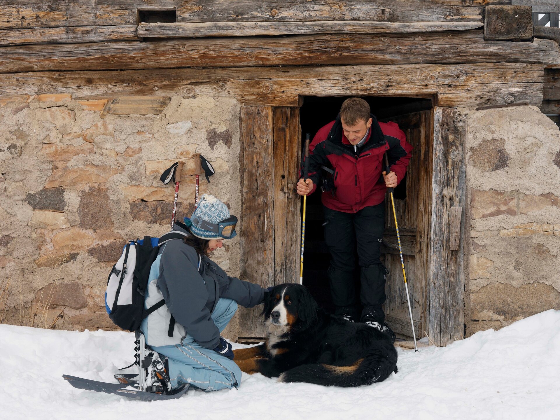
White pastures, wooden huts, spruce forests and an Austro-Hungarian fort are the ingredients of this excursion with snowshoes.
In summer Forte Dossaccio is a destination for hiking or mountain bike tours. In winter it represents the arrival point of an easy excursion with snowshoes. The climb is constant and undemanding. In the first part of the route you walk in the midst of sunny pastures that offer sweeping views of the Lagorai chain. Then you immerse ourselves in the lush forest of the Paneveggio Natural Park which bears the signs of the Vaia storm (October 2018). Once you reach the fort of the First World War, your gaze will be captured by the Cimon della Pala that stands majestically behind the building.
The tour is doable even after heavy snowfalls, since there is no avalanche danger.
THE 10 RULES FOR HIKERS
Prepare your itinerary beforehand
Choose an itinerary that suits your physical abilities
Choose suitable clothes and equipment
Check the weather forecast
Hiking by yourself is more risky; if this is the case, take a mobile phone with you
Leave information about your itinerary and your expected return time
If you are not sure about your itinerary, contact an Alpine Guide
Pay attention to signposts and directions that you find along your way
Do not hesitate in going back if you feel too tired
In case of emergency call 112
Remember, snowpack stability is subject to sudden and unforeseeable changes and shifts. Always check the local avalanche before departure and make sure you gather all possible information concerning current conditions from the local Mountain Guides. GPS tracks are merely indicative of the more standard routes but must not be followed blindly without first checking current slope and terrain conditions.
Starting point
Castelir - Bellamonte
Directions
Put on your snowshoes and set off on the obvious road that climbs up in the middle of the expanses of snow. The imposing but sparse larches and pine trees do not block the view of the white peaks of the Lagorai chain. The wooden huts crown this characteristic alpine landscape. After this first part the forest becomes denser, blocking the view of the mountains. Once you reach the highest point where the imposing Fort Dossaccio stands, the view opens up again on the Lagorai chain and on the majestic Pale di San Martino.
The return takes place on the same route, with a small, non-mandatory variant.
public transportation
Ski bus service from Predazzo to Castelir ski lifts (Bellamonte).
How to get there
From Predazzo take the road to Passo Rolle. After passing the village of Bellamonte, turn left onto the road with signs for the "Bellamonte - Alpe Lusia" ski area in Castelir.
Where to park
After the first bend there is a parking on the left side.
Warm and waterproof winter clothes. Spare shirt, gloves, wool cap, sunglasses, sunscreen, water, snacks, hiking shoes and hiking poles.
It’s COMPULSORY to carry with you an avalanche rescue kit consisting of avalanche transceiver, probe and shovel.