Directions
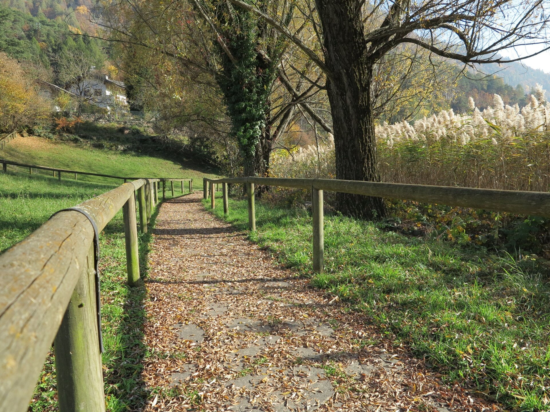
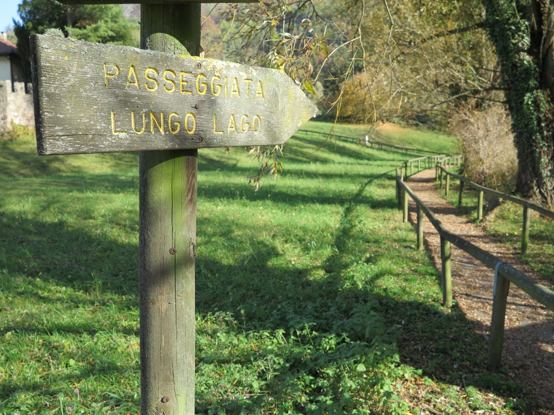
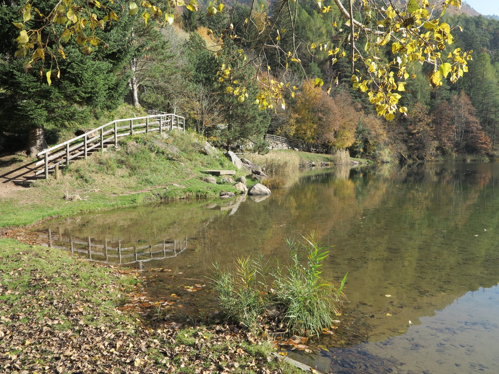
Near the provincial road, an information board welcomes us to the Lona-Lases provincial nature reserve. Having descended to the beach, we start our tour clockwise, then head eastwards, guided by a nice walk. Now we ascend towards the village (yellow arrows) arriving at a crossroads with a fountain, we continue in a north-easterly direction following the signs for 'palù redont'. On reaching the second fork (with the presence of a sheet metal tool shed) we continue straight on (and not to the right for Val fredda) and at the next fork we take the left.
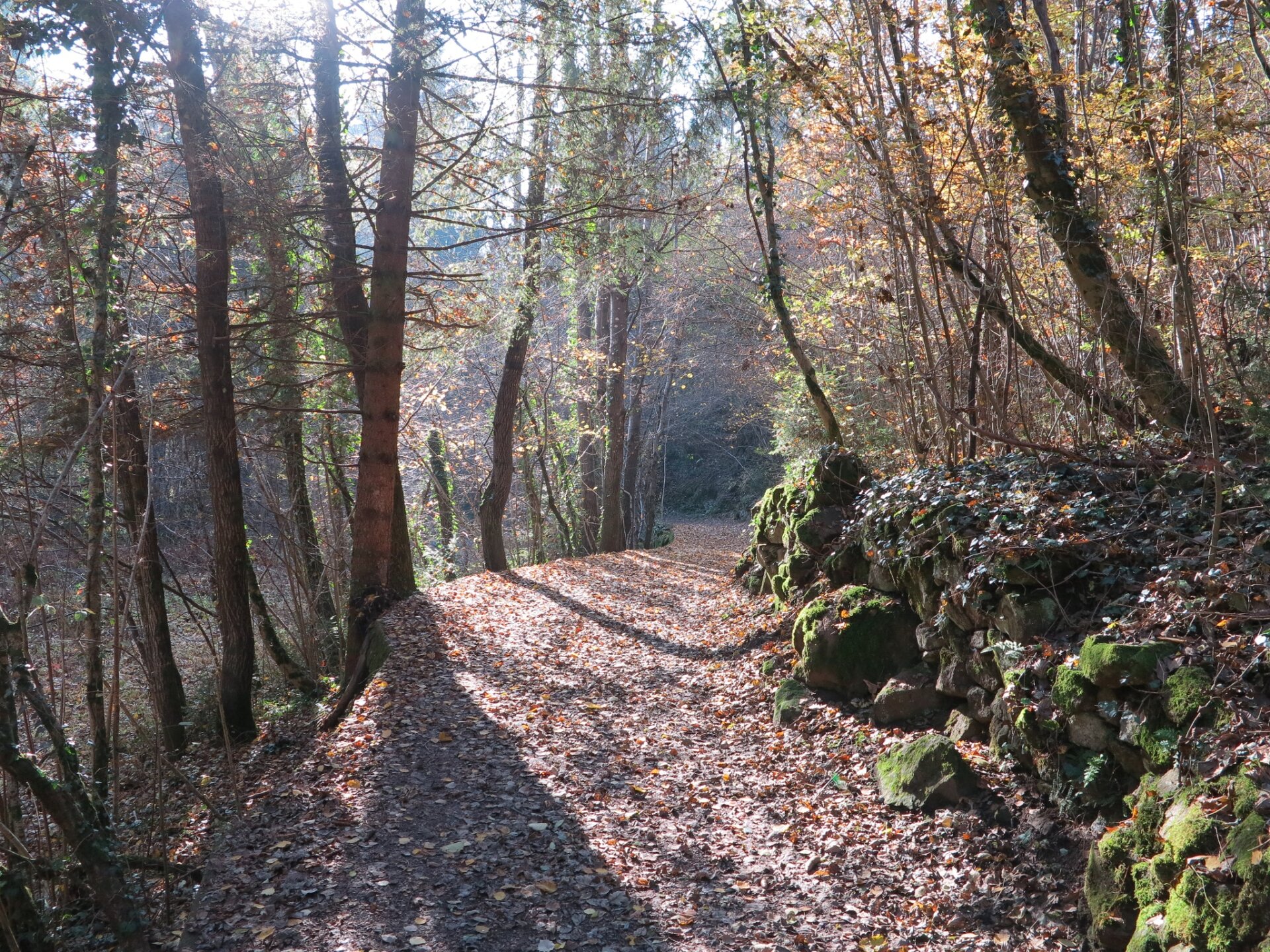
Having arrived at "Palù Redont", an interesting amphitheatre-shaped biotope with a diameter of 130-150 metres, we take an uphill path signposted for "Doss Costei" (always follow the yellow arrows drawn on wooden logs) and, before coming out onto the provincial road, we turn right, arriving at a field planted with small fruits. We continue for a while and when we come to a forest road, we turn left and then take another on the right. Follow the latter, ignoring the two roads that we will encounter on the way up and which continue to the right; the road makes hairpin bends and reaches a large information board dedicated to the Lona-Lases biotope. From there we follow the signs for 'Val fredda', taking a forest road. Walking through the 'Val fredda', it is easy to understand the origin of the name given to it and the fascination that this location arouses on hot summer afternoons.
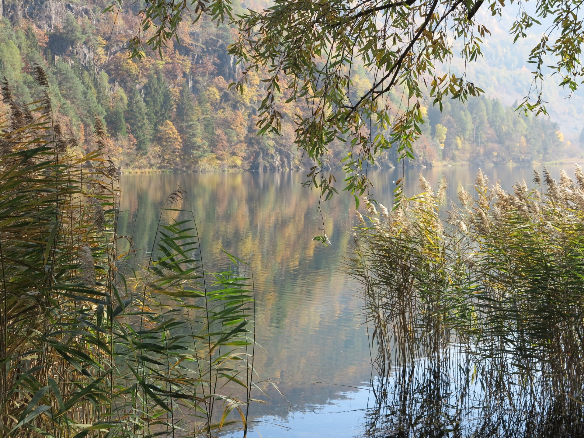
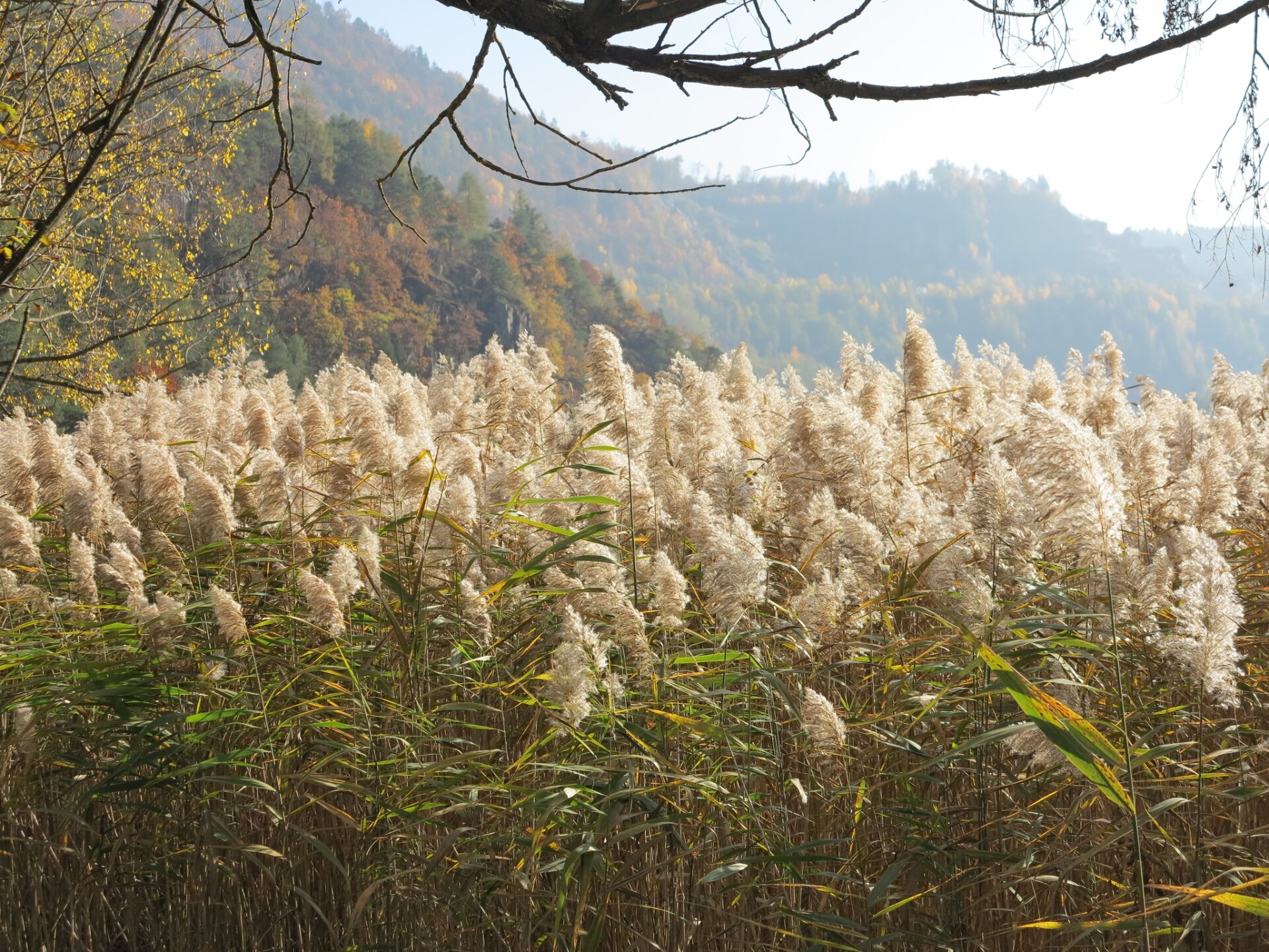
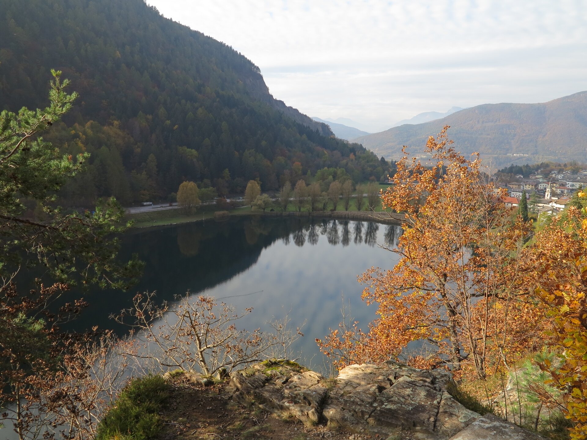
After passing a porphyry quarry, we follow the signs for the 'circumlacual path' and continue enjoying the view of the lake. This is the most scenic section of the proposed tour, but also the most technical: in fact, the descent is along a path with sometimes steep steps. Be careful! The tour continues past a little pink house and on through the reeds on the footbridge that cuts through the biotope south of the lake in the company of some typical lake birds. For short stretches, in the final part, the path breaks off and runs alongside the provincial road. After arriving at the well-maintained beach, it is a short walk back to the car park.