To the navigation Skip to main content To the footer
Top

Among the vineyards, woods and flavors of the Cembra Valley

Giovo
Difficulty
Intermediate
Duration
4:00
in hours
Distance
12.8
in km
Categories
  • Hiking trail
Tags
  • Multi-stage route
  • Scenic
  • Insider tip
  • Suitable for strollers
  • Round trip
  • Refreshment stops available
  • Family-friendly
Suggested period
Jan
Feb
Mar
Apr
May
Jun
Jul
Aug
Sep
Oct
Nov
Dec

9 km food and wine itinerary, on easy walking roads, to discover the flavors and the territory of Giovo in the Cembra Valley.

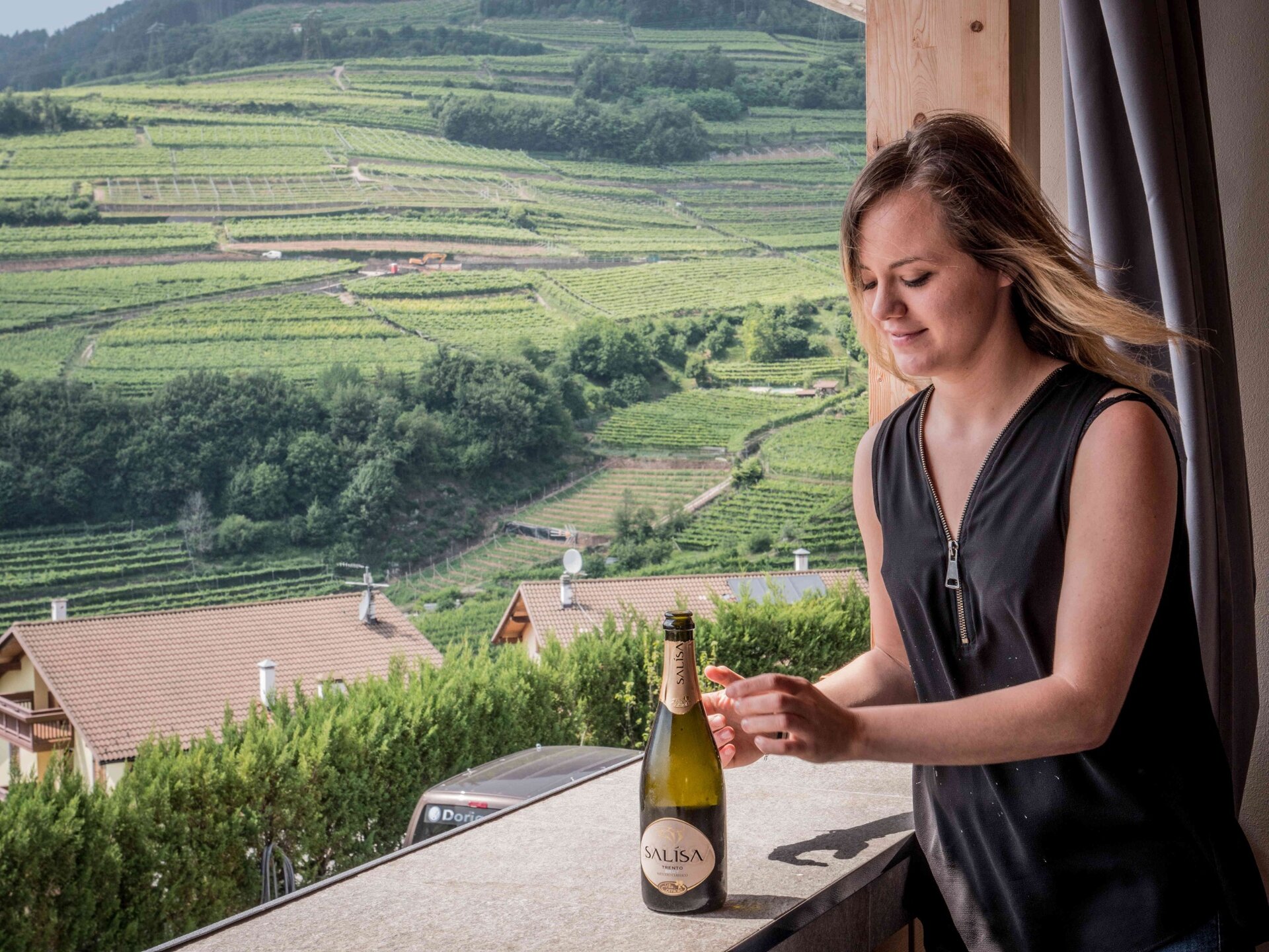
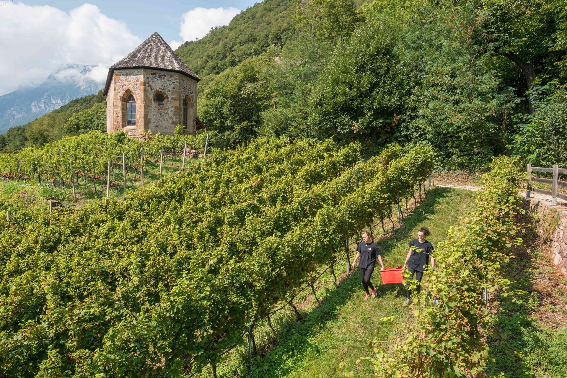
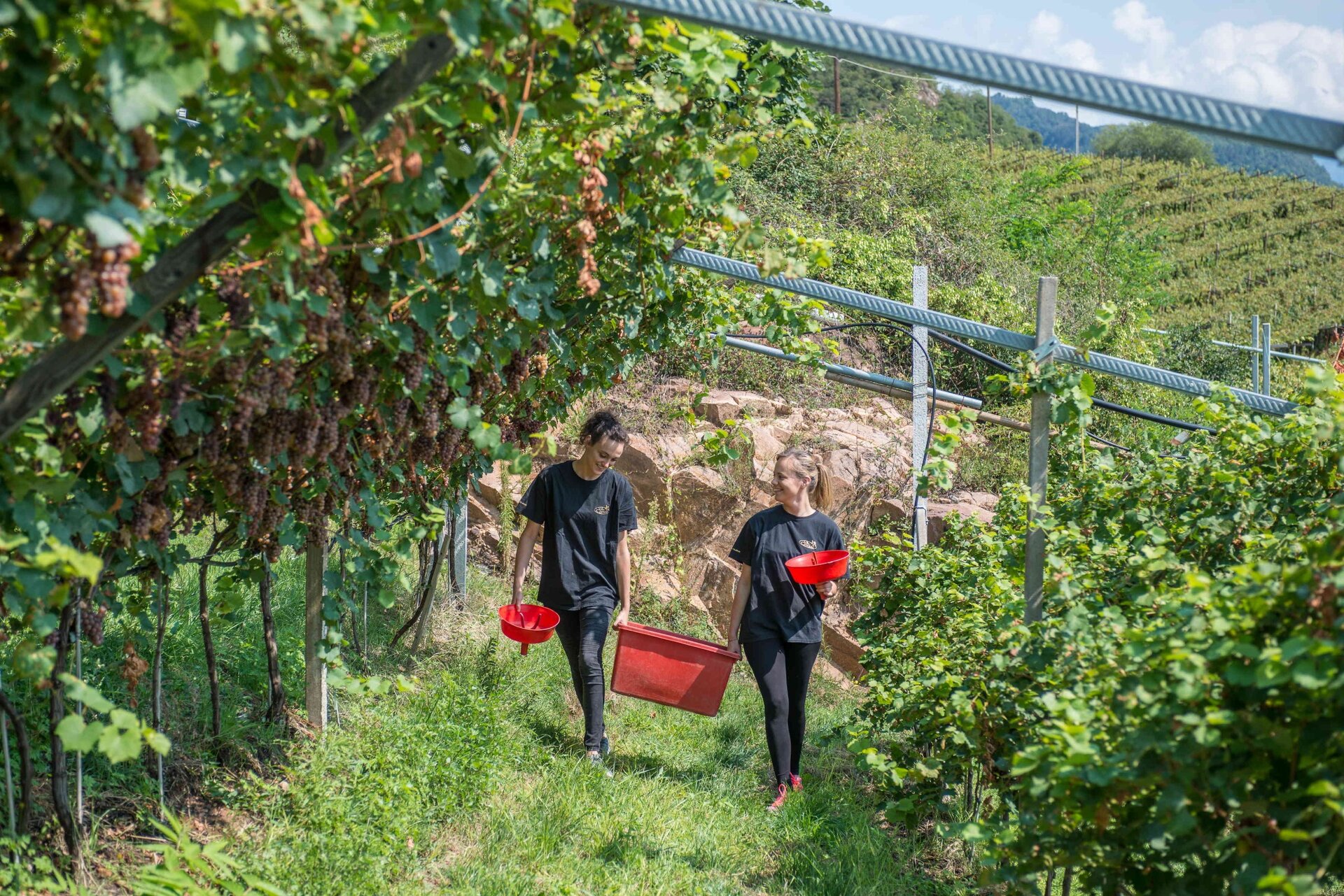
It is a pleasant walk to get to know local producers and restaurants with local cuisine, admiring a variety of views: from terraced vineyards resulting from 'heroic' cultivation and recently named 'Historic Rural Landscape of Italy', to lush forests and enchanting green meadows.
Gallery
Further information and useful links

Ufficio Turistico Cembra - Tel. +39 0461 683110 - info@visitvaldicembra.it – www.visitvaldicembra.it  

Along the way are to be found the following producers and restaurants:

  • Agritur Simoni, Palù di Giovo
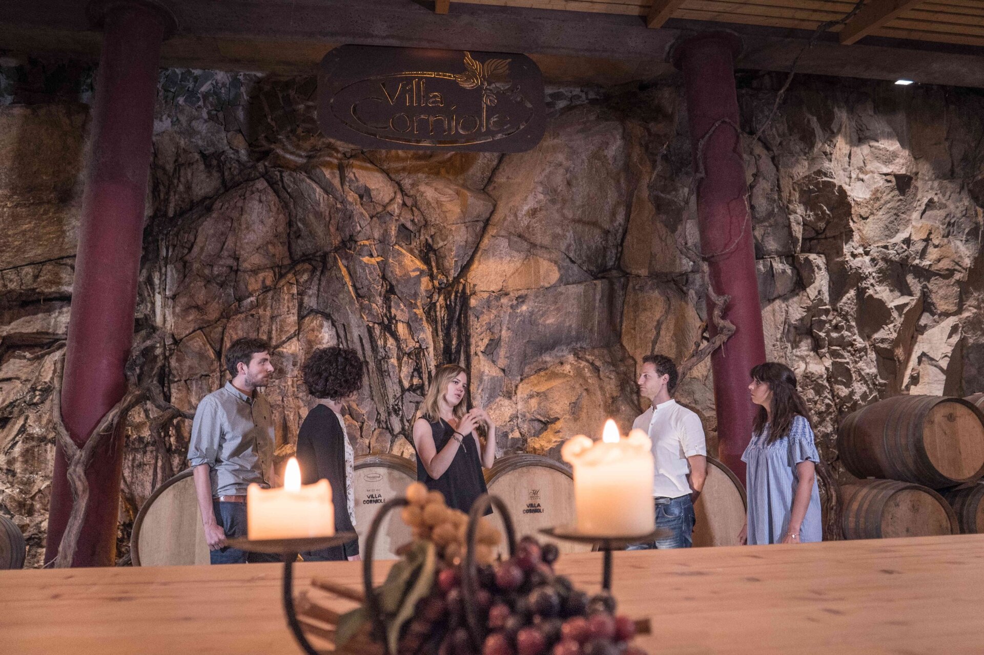
  • Villa Corniole Winery, Verla di Giovo
  • Fior di Bosco restaurant, Masen di Giovo

In the direct vicinity we point out:

  • Agritur Maso Pomarolli, Palù di Giovo
  • Devigili Winery, Giovo
Categories
  • Hiking trail
Tags
  • Multi-stage route
  • Scenic
  • Insider tip
  • Suitable for strollers
  • Round trip
  • Refreshment stops available
  • Family-friendly
Route data
Intermediate
Distance
12,8 km
Duration
4 h 00 min
Ascent
482 m
Decent
482 m
Physical condition
Scenary
Highest point
811 m
Lowest point
490 m
Suggestions

We advise you to check opening hours of the agriturismus and restaurants and to make a reservation.

Among the points of historical interest we mention the church of San Floriano in Valternigo, which can be reached with a short detour and, in loc. Ville, the remaining tower of the ancient Castello della Rosa.

You might be interested in
Discover related tours
The Vardabe huts with the Lagorai range in the background | © A. Russolo, APT Fiemme Cembra
Easy
Predazzo
Gardonè - Vardabe
Distance 3,8 km
Duration 1 h 25 min
Ascent 200 m
Decent 200 m
Alpine meadows | © Staff Outdoor Val di Fiemme, APT Fiemme Cembra
Easy
Ville di Fiemme
Easy walk to Malga Gurndin and Isi Hütte
Distance 6,9 km
Duration 2 h 00 min
Ascent 160 m
Decent 160 m
© Federico Monegatti, APT Trento
Easy
Cembra, Lisignago, Giovo
From the Lake Santo to the Roccolo of Sauch
Distance 5,6 km
Duration 1 h 45 min
Ascent 215 m
Decent 215 m
The covered bridge | © M. Morandini, APT Fiemme Cembra
Easy
Panchià, Ziano di Fiemme
The covered wooden bridge in Panchià
Distance 3,9 km
Duration 1 h 00 min
Ascent 55 m
Decent 55 m
Easy
Tesero, Predazzo
Geotrail Dos Capèl – Dolomites, what a discovery!
Distance 5,4 km
Duration 2 h 00 min
Ascent 262 m
Decent 262 m
© Media In - I. Albertini, APT Trento
Easy
Cembra, Lisignago
Along the shores of Lago Santo
Distance 1,1 km
Duration 20 min
Ascent 22 m
Decent 11 m