
To the navigation Skip to main content To the footer
Top

Lisignago - Segonzano, Cammino delle Terre Sospese

Lona-Lases, Segonzano, Cembra, Lisignago
Difficulty
Difficult
Duration
5:30
in hours
Distance
15
in km
Categories
  • Hiking trail
Tags
  • Linear route
  • Multi-stage route
  • Scenic
The second stage of a long-distance route (6 recommended stages) to discover the Cembra Valley at a slow pace

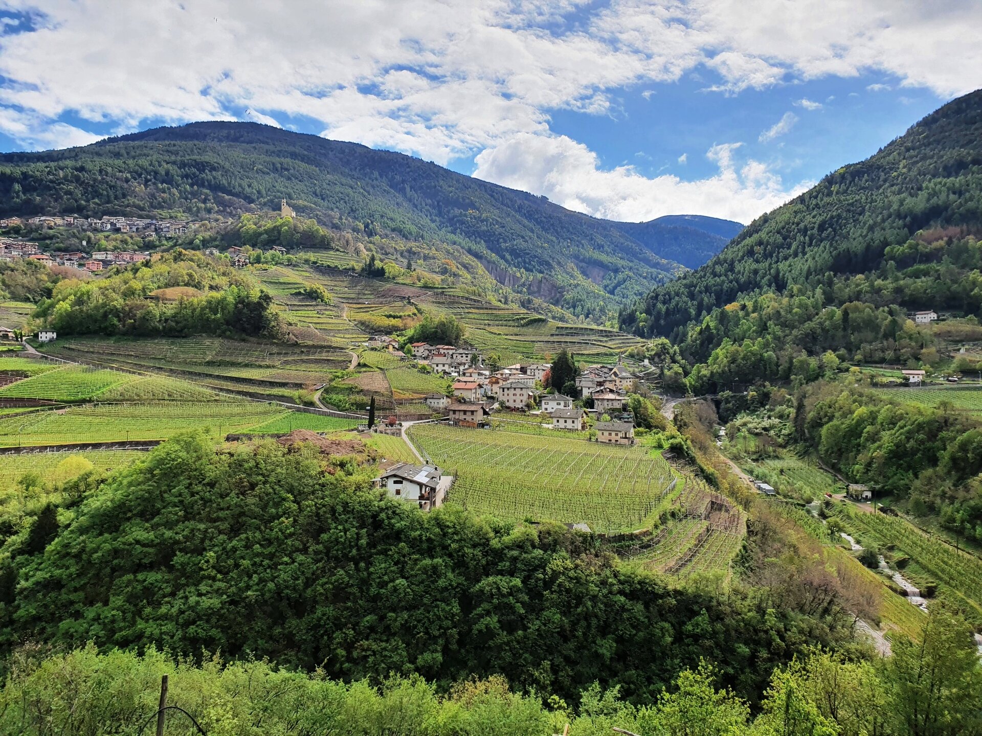
The Cammino delle Terre Sospese is a 90 km route that connects villages, hamlets, and farms in the Val di Cembra that seem suspended in time, to meet the genuine identity of this valley far from tourist circuits. Traveling this path, you will cross the valley, moving from the right bank to the left bank, crossing the Avisio stream several times, the undisputed protagonist of this fascinating route. You will discover a richness and diversity of natural and cultural landscapes that will surprise you: districts, faces, and ancient fountains in small villages, terraced vineyards supported by daring dry stone walls, medieval chapels, castles, and historic connecting roads, small farms and old rural houses, mills, forges, sawmills… and then streams and silent woods. The Cammino delle Terre Sospese is not only a physical route but an important community project, promoted by a spontaneous group of volunteers who founded the association Destinazione Val di Cembra ETS to encourage people to meet and discuss more sustainable development of their territory, strengthening the spirit of an active and welcoming community. For this reason, we wish that it will be a route full of meetings and relationships.

Before leaving, check the Cammino website, download the track, pack your backpack with water and what is necessary for the daily stages. In case of emergency remember that the number to call immediately is 112.
Gallery
Categories
  • Hiking trail
Tags
  • Linear route
  • Multi-stage route
  • Scenic
Route data
Difficult
Distance
15,0 km
Duration
5 h 30 min
Ascent
798 m
Decent
646 m
Physical condition
Scenary
Highest point
808 m
Lowest point
412 m
You might be interested in
Discover related tours
Forte Dossaccio | © R. Gaia, APT Fiemme Cembra
Easy
Predazzo
Excursion to "Forte Dossaccio"
Distance 8,3 km
Duration 2 h 30 min
Ascent 330 m
Decent 330 m
Avisio River Park | © G. Panozzo, APT Fiemme Cembra
Easy
Ziano di Fiemme, Predazzo
The fluvial park along the Avisio
Distance 6,0 km
Duration 1 h 45 min
Ascent 50 m
Decent 50 m
Holy Lake | © Alessandro Cristofoletti, Rete di Riserve Val di Cembra Avisio
Faver, Grauno, Grumes, Valda, Cembra, Lisignago, Giovo
Lago Santo and the Lagabrun peat bog
Distance 11,7 km
Duration 2 h 30 min
Ascent 379 m
Decent 381 m
In autumn the farmsteads are surrounded by the colors of the ancient fruit trees | © Patrick Odorizzi, Rete di Riserve Val di Cembra Avisio
Easy
Faver, Grauno, Grumes, Valda
The “Masi di Grumes” circuit
Distance 6,8 km
Duration 2 h 30 min
Ascent 250 m
Decent 250 m
Pagoda | © G. Demattio, APT Fiemme Cembra
Easy
Cavalese, Ville di Fiemme
“Points of view” over Cavalese
Distance 2,2 km
Duration 2 h 00 min
Ascent 60 m
Decent 70 m
View over the wild river environment of the Avisio | © Elisa Travaglia, Rete di Riserve Val di Cembra Avisio
Intermediate
Sover
The historic crafts footpath - from Sover
Distance 8,5 km
Duration 3 h 30 min
Ascent 450 m
Decent 450 m