To the navigation Skip to main content To the footer
Top

The Piz de le Agole, balcony on the valley

Cembra, Lisignago
Category
Difficulty
Easy
Duration
3:30
in hours
Distance
10.2
in km

Ascent to the summit of Piz de le Agole, a privileged viewpoint over the Cembra Valley

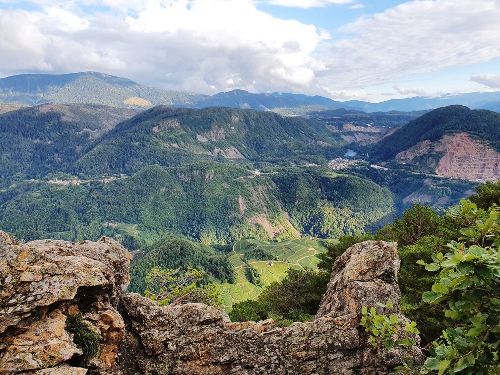
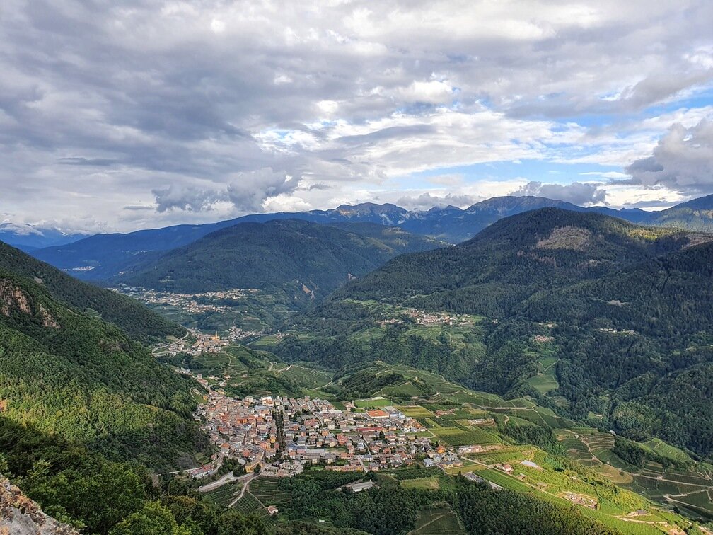
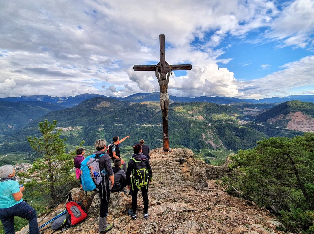
The Piz de le Agole (1092 meters high), located in the Municipality of Cembra Lisignago, is an exceptional viewpoint offering a splendid view of the Cembra valley, Lake Lases, the Piné plateau and the surrounding peaks, the summits of Vigolana and Bondone and in the distance part of the Val di Fiemme. We propose a circular itinerary starting from the center of the village of Lisignago, crossing it through narrow and steep alleys and showing us splendid historic houses, witnesses of traditional Trentino architecture.

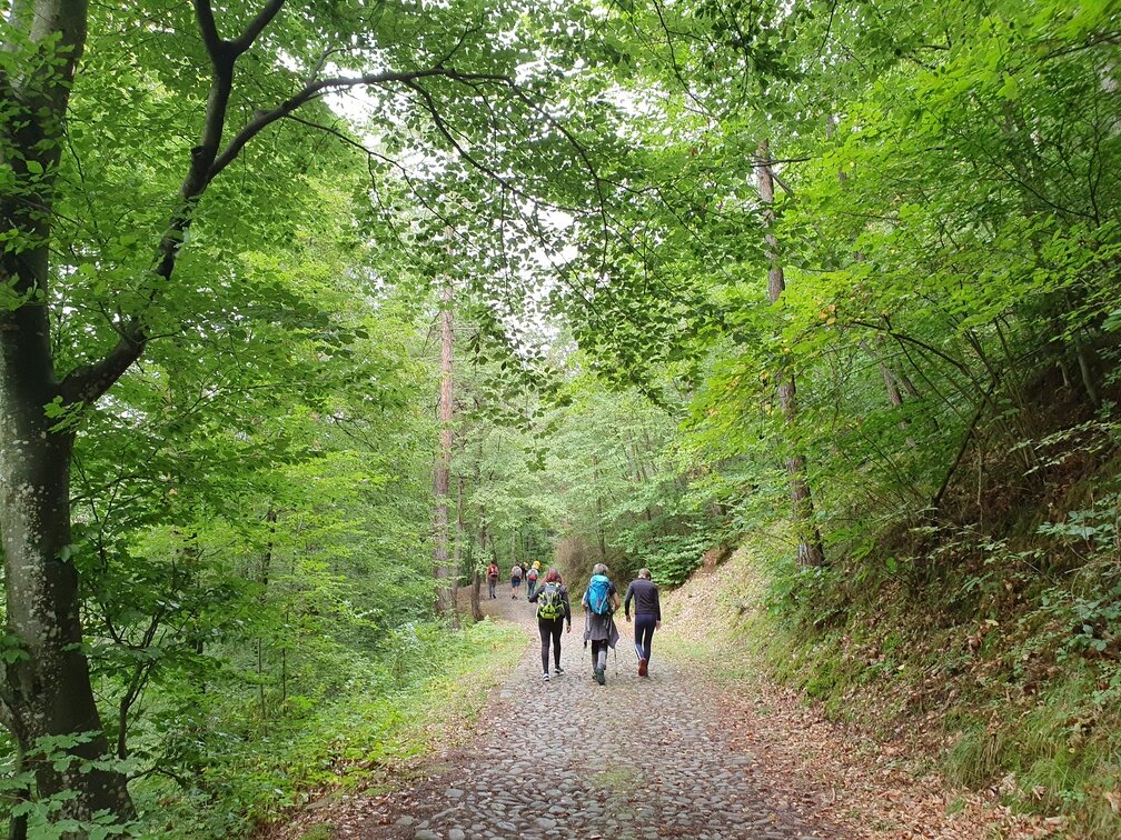
We follow the trail towards the Maderlina Refuge and take a beautiful paved road in the woods that gradually leads us uphill. The route continues with an interesting variety of environments: relaxing deciduous forests alternate with large meadows and clearings where well-maintained mountain huts stand, many of which retain the traditional construction style in wood and porphyry.

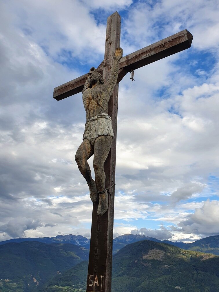
We follow the signs for Piz de le Agole and, on a path through mixed forest of beech, black pine and Scots pine, we finally reach the viewpoint. At the summit we will be welcomed by a majestic wooden cross, the "Christ of Hope", a work by a sculptor from the village of Lisignago, Silvano Ferretti.

To return to Lisignago, we briefly retrace the path we just took and follow the indications of the SAT path 416, which descends quite steeply to the center of the village of Lisignago.
Tags
  • Scenic
  • Round trip
Route data
Easy
Distance
10,2 km
Duration
3 h 30 min
Ascent
600 m
Decent
600 m
Physical condition
Scenary
Highest point
1.081 m
Lowest point
575 m
You might be interested in
Discover related tours
At the entrance of the Old Railway tunnel | © N. Delvai, APT Fiemme Cembra
Easy
Cavalese
Montagna Senza Limiti - Loop of Parco della Pieve
Distance 2,8 km
Duration 1 h 00 min
Ascent 60 m
Decent 60 m
© Sara Zucal, Rete di Riserve Val di Cembra Avisio
Segonzano, Faver, Grauno, Grumes, Valda, Lona-Lases, Cembra, Lisignago
Val di Cembra coast to coast
Distance 13,1 km
Duration 4 h 30 min
Ascent 750 m
Decent 750 m
© Sara Zucal, Rete di Riserve Val di Cembra Avisio
Intermediate
Sover, Faver, Grauno, Grumes, Valda
Sover - Grumes, Cammino delle Terre Sospese
Distance 12,8 km
Duration 5 h 15 min
Ascent 718 m
Decent 685 m
Salanzada | © N. Delvai, APT Fiemme Cembra
Easy
Cavalese
Alpine pasture walk in Salanzada
Distance 7,6 km
Duration 3 h 00 min
Ascent 40 m
Decent 470 m
In autumn the farmsteads are surrounded by the colors of the ancient fruit trees | © Patrick Odorizzi, Rete di Riserve Val di Cembra Avisio
Easy
Faver, Grauno, Grumes, Valda
The “Masi di Grumes” circuit
Distance 6,8 km
Duration 2 h 30 min
Ascent 250 m
Decent 250 m
Biotop Brozin | © Staff Outdoor Val di Fiemme, APT Fiemme Cembra
Easy
Castello-Molina di Fiemme
Be guest in the nature of Brozin Biotope
Distance 5,0 km
Duration 2 h 30 min
Ascent 110 m
Decent 110 m